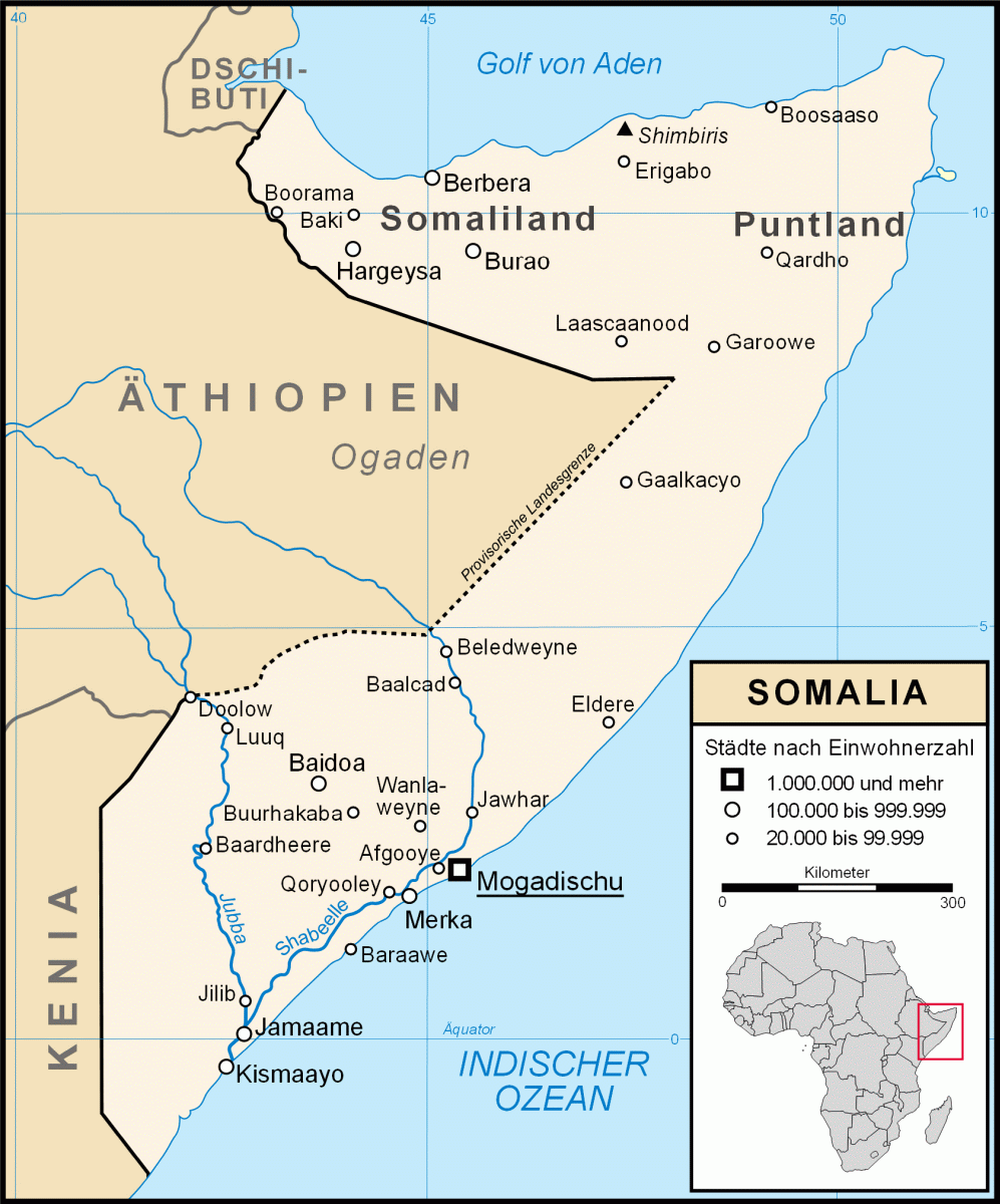
Chisimayu

Chisimayu
Karte Somalias
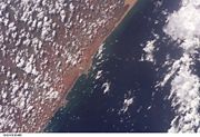
Satellitenaufnahme von Kismaayo und Umgebung
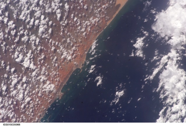
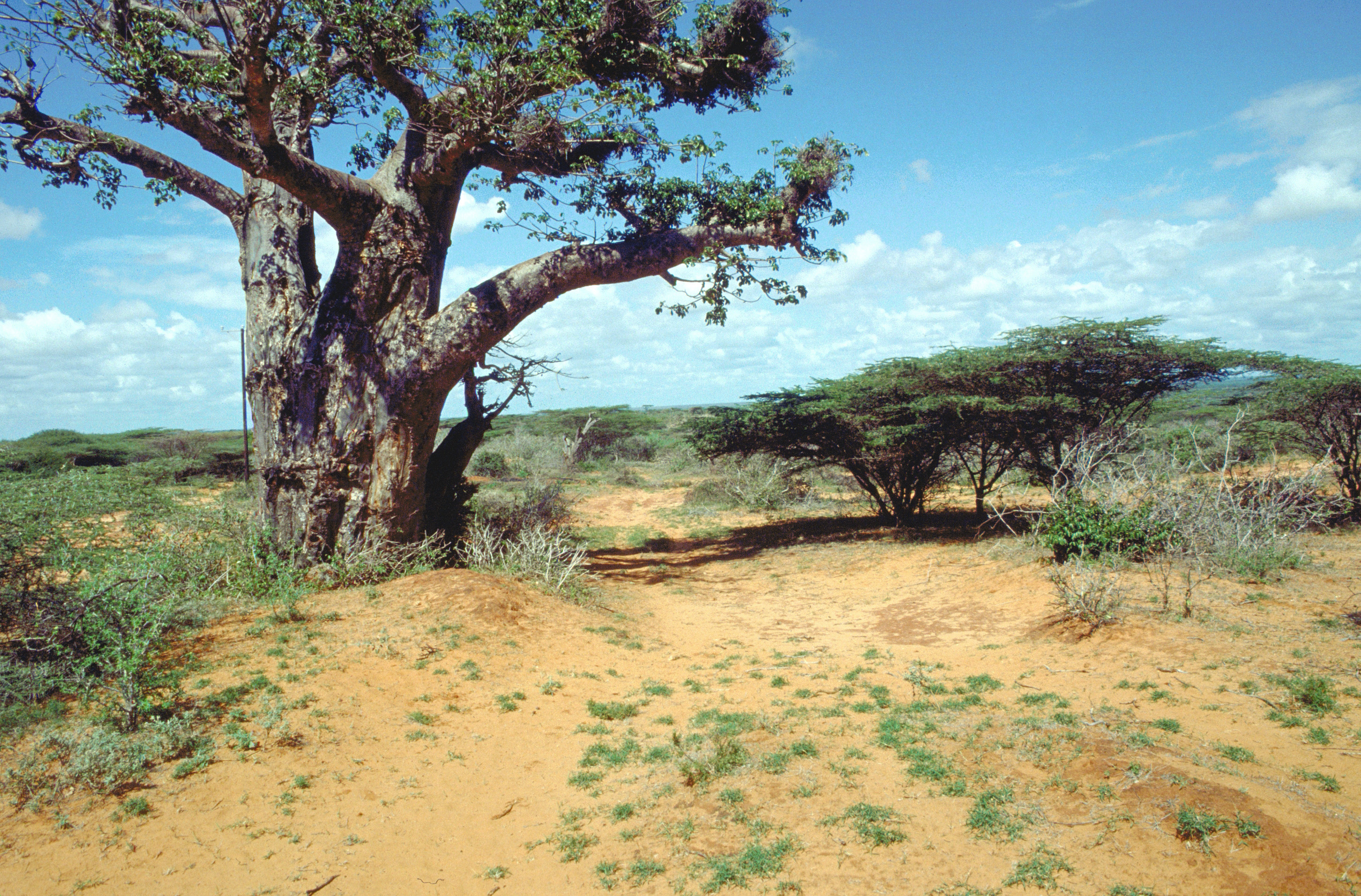
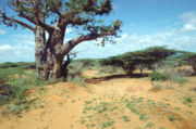
Landschaft bei Kismaayo, Dezember 1993

Kismaayo (ital. Chisimaio; auch Kismayo, Kismaju, Chisimaayo etc. geschrieben) ist eine Hafenstadt im Süden Somalias mit mehr als 256.000 Einwohnern[1]. Sie ist Hauptstadt der Region Jubbada Hoose (Unter-Jubba) und liegt nahe der Mündung des Flusses Jubba.

Vor Kismaayo liegen die Bajuni-Inseln.

Geschichte

Kismaayo wurde von den Bajuni gegründet, die zur Swahili-Gesellschaft an der Küste Ostafrikas zählen. Später kamen Somali-Clans in das Gebiet. Heute sind die Stadt und ihre Umgebung von diversen Somali-Clans und ethnischen Minderheiten bewohnt.

1835 gehörten Kismaayo und Umgebung zum Sultanat Sansibar. Ab 1895 gehörte die Region Jubaland, in der Kismaayo liegt, zur britischen Kolonie Kenia, bevor sie 1925 an Italien übertragen und 1926 Teil von Italienisch-Somaliland wurde. Hierbei wurde Kismaayo Hauptstadt der Provinz Oltre Giuba (Jubaland).

Während des Bürgerkrieges in Somalia war Kismaayo zwischen verschiedenen Clans umkämpft und Hochburg der 1999 entstandenen Juba Valley Alliance.

Am 25. September 2006 nahm eine Fraktion der Union islamischer Gerichte die Stadt ein[2]. Als Truppen des Nachbarlandes Äthiopien Ende 2006 in Somalia einmarschierten und die Union aus weiten Landesteilen verdrängten, zog sich diese großteils nach Kismaayo zurück. Äthiopische und Übergangsregierungstruppen folgen ihr und nahmen Kismaayo am 1. Januar 2007 ein.[3] Seit Juni 2007 kontrollierten wieder Clan-Milizen die Stadt[4]. Sie wurden im August 2008 von der radikalislamischen al-Shabaab verdrängt, die aus dem radikalen und militanten Flügel der Union islamischer Gerichte hervorgegangen ist.[5]

Quellen

  1. bevölkerungsstatistik.de (2007)
  2. BBC News: Islamists capture key Somali port
  3. BBC News: Somali Islamic stronghold falls
  4. Garowe Online: Islamist rebels in secret deal with Kismayo port militia
  5. taz.de: Islamisten weiten Kämpfe aus

-0.3666666666666742.5333333333337Koordinaten: 0° 22′ S, 42° 32′ O


Wikimedia Foundation.

Игры ⚽ Поможем сделать НИР

Schlagen Sie auch in anderen Wörterbüchern nach:

  • Economic history of Somalia — The colonial economy = The colonial era did not spark foreign economic investment despite the competition of three major European powers in the area of present day Somalia. Italy controlled southern Somalia; Britain northern Somalia, especially… …   Wikipedia

  • Transport in Somalia — includes a network of highways, and several ports. There are now no railways in Somalia, and the country possesses no merchant marine. Adjacent countries * Djibouti * Ethiopia * Kenya Road Somalia s network of highways is 22,100 km long, 2,608 km …   Wikipedia

  • Italian Somalia — Infobox Former Country native name = Somalia Italiana conventional long name = Italian Somalia common name = Somalia continent = Africa region = Horn of Africa anthem = National Anthem of the Kingdom of Italy status = Colony empire = Italy era =… …   Wikipedia

  • History of Italy as a monarchy and in the World Wars — This articles covers the history of Italy as a monarchy and in the World Wars.Italian unification (1861 1870)Modern Italy became a nation state during the Risorgimento on March 17, 1861 when most of the states of the Italian Peninsula and the… …   Wikipedia

  • Somali Police Force — In 1960 the British Somaliland Scouts joined with the Police Corps of Somalia to form a new Somali Police Force, which consisted of about 3,700 men. The authorities also organized approximately 1,000 of the force as the Darawishta Poliska, a… …   Wikipedia

  • Transportation in the Arab League — is considered fairly inequipped, Transportational infrastructure has been growing slowly.HighwaysRegional highwaysThere are Several Cross Arab State roads, Crossing the Arab World from its farthest point in the west in Mauritania, to its eastern… …   Wikipedia

  • Kismaayo — (somalí: Kismaayo, también Kismayo y Chisimayu) es una ciudad portuaria en la región de Jubbada Hoose en Somalia, y es la tercera ciudad más grande del país luego de Mogadiscio y Hargeisa. Está situado a 528 kilómetros del sudoeste de Mogadiscio …   Wikipedia Español

  • Geografía de Somalia — Mapa de Somalia. Somalia, el país más oriental de África, ocupa un área de 637.540 km². Se sitúa en la punta de una región conocida habitualmente como el Cuerno de África debido a su parecido en el mapa con un cuerno de rinoceronte de la que… …   Wikipedia Español

  • Somalia — Soomaaliya الصومال As Sūmāl Somalia Somalia …   Wikipedia Español

  • Somalia — Somalian, adj., n. /soh mah lee euh, mahl yeuh/, n. an independent republic on the E coast of Africa, formed from the former British Somaliland and the former Italian Somaliland. 9,940,232; 246,198 sq. mi. (637,653 sq. km). Cap.: Mogadishu.… …   Universalium

Share the article and excerpts

Direct link
Do a right-click on the link above
and select “Copy Link”