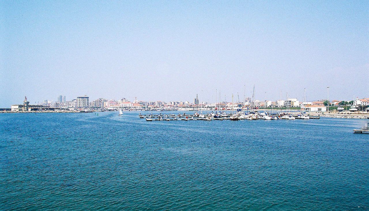
Linha da Póvoa

Linha da Póvoa
Famalicão–Porto
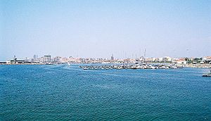
Blick auf Póvoa de Varzim
Streckenlänge: 59.8 km
Spurweite: 1000 mm (Meterspur)
Legende
Bahnhof, Station
0,0 Famalicão
   
Linha do Minho (Minho-Porto)
   
02,9 Barradas
   
05,1 Outiz
   
06,9 Cavalões
   
09,1 Gondifelos
   
12,3 Balazar
   
13,7 Fontaínhas
   
15,7 Rates
   
20,7 Laundos
   
25,6 Amorim
   
29,3 Póvoa de Varzim
   
32,6 Vila do Conde
   
34,5 Azurara
   
37,6 Mindelo
   
40,2 Vila Chã
   
41,5 Modivas
   
43,3 Vilar do Pinheiro
   
46,4 Pedras Rubras
   
48,0 Crestins
   
52,2 Custóias
   
Linha de Guimarães
   
53,3 Senhora da Hora
   
54,6 Circunvalação
   
55,2 Ramalde
   
56,4 Francos
   
57,7 Avenida França
   
59,8 Porto Trindade

Die Linha da Póvoa ist eine Eisenbahnstrecke an der Nordküste von Portugal. Die Strecke wurde mittlerweile geschlossen und eine neue Verbindung dem Vorortverkehrsnetz von Porto angeschlossen.

Geschichte

Die erste Teilstrecke der Linha da Póvoa wurde am 1. Oktober 1875 eingeweiht und stellte eine Schienenverbindung mit einer Länge von 27,7 km zwischen den Orten Porto Boavista und Póvoa de Varzim dar. Später folgten die Teilstücke Póvoa de Varzim – Fontaínhas (Ramal de Famalicão) mit 15,6 km am 7. August 1878 und schließlich von Fontaínhas nach Famalicão an der Linha do Minho am 12. Juni 1881.

Aktuell

Am 31. Dezember 1995 wurde das Teilstück der Linha da Póvoa von Póvoa nach Famalicão geschlossen.1999 wird die Linha da Póvoa der Metro do Porto zugeordnet. Abgeschlossen wurde dieser Übergang mit der Schließung der Strecken Senhora da Hora a Póvoa und von Senhora da Hora nach Trofa Linha de Guimarães im Jahre 2002.

Neue Anbindung nach 2002 über die Metro an den Großraum Porto

Wikimedia Foundation.

Игры ⚽ Поможем сделать НИР

Schlagen Sie auch in anderen Wörterbüchern nach:

  • Linha de Guimarães — Porto–Fafe Streckenlänge: 80,7 km Spurweite: 1668 mm (Iberische Spur) Stromsystem: (Lousado–Guimarães) 25 kV 50 Hz  Legende …   Deutsch Wikipedia

  • Linha do Minho — Porto–Valença Streckenlänge: 134,2 km Spurweite: 1668 mm (Iberische Spur) Legende …   Deutsch Wikipedia

  • Póvoa de Varzim — Saltar a navegación, búsqueda Póvoa de Varzim …   Wikipedia Español

  • Póvoa de Varzim — ] Culture and contemporary lifeJunqueira is Póvoa de Varzim s busiest and most traditional shopping district, the main street opened in the 18th century and is a pedestrian area since 1955. Currently, it has about 1 km (or 0.62 mi) of pedestrian… …   Wikipedia

  • Linha de Matosinhos — Porto–Matosinhos Streckenlänge: 11,8 km Spurweite: 1000 mm (Meterspur) Legende …   Deutsch Wikipedia

  • Linha do Norte (Portugal) — Porto–Lissabon Endbahnhof Porto Campanhã Streckenlänge: 336 km Spurweite: 1668 mm (Iberische Spur) …   Deutsch Wikipedia

  • Póvoa de Varzim neighbourhoods — The Póvoa de Varzim City Planning Commission divided the city into 11 districts ( partes , lit. parts ), each with distinctive zones ( zonas ).While most of these assigned boundaries match with traditional local designations, some others differ… …   Wikipedia

  • Geography of Póvoa de Varzim — Póvoa de Varzimcoord|41|22|59|N|8|46|00|W|display=title, with an area of 82.06 square kilometres, lies between the Cávado and Ave rivers, or, from a wider perspective, halfway between the Minho and Douro rivers on the northern coast of Portugal… …   Wikipedia

  • Culture of Póvoa de Varzim — Portuguese painted tile work with Povoan boats and siglas poveiras marks. The culture of Póvoa de Varzim, in Portugal, deriving from the different working classes and with influences arriving from the maritime route from Baltic Sea to the… …   Wikipedia

  • Castelo da Póvoa — Nossa Senhora da Conceição Fortress …   Wikipedia

Share the article and excerpts

Direct link
Do a right-click on the link above
and select “Copy Link”