- Batizovce
-
Batizovce
Wappen Karte 
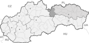

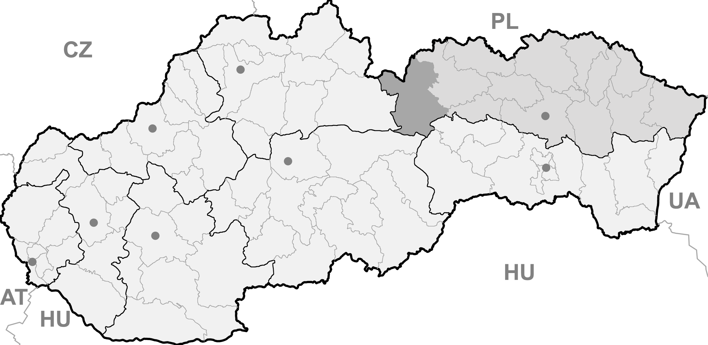
Batizovce BasisdatenKraj: Prešovský kraj Okres: Poprad Region: Tatry Fläche: 14,348 km² Einwohner: 2.256 (31. Dez. 2010) Bevölkerungsdichte: 157,23 Einwohner je km² Höhe: 756 m n.m. Postleitzahl: 059 35 Telefonvorwahl: 0 52 Geographische Lage: 49° 4′ N, 20° 11′ O49.06666666666720.183333333333756Koordinaten: 49° 4′ 0″ N, 20° 11′ 0″ O Kfz-Kennzeichen: PP Gemeindekennziffer: 523402 StrukturGemeindeart: Gemeinde Verwaltung (Stand: November 2010)Bürgermeister: Ivan Čičmanec Adresse: Obecný úrad Batizovce
Štúrova 29
05935 BatizovceWebpräsenz: www.obecbatizovce.sk Gemeindeinformation
auf portal.gov.skStatistikinformation
auf statistics.skBatizovce (deutsch Botzdorf, ungarisch Batizfalva - bis 1882 Batizfalu) ist eine Gemeinde in der Ostslowakei. Sie liegt im Talkessel Podtatranská kotlina am Fuße der Hohen Tatra, etwa 10 km von Poprad entfernt.
-
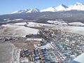
Luftbild des Ortes
-
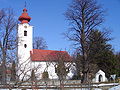
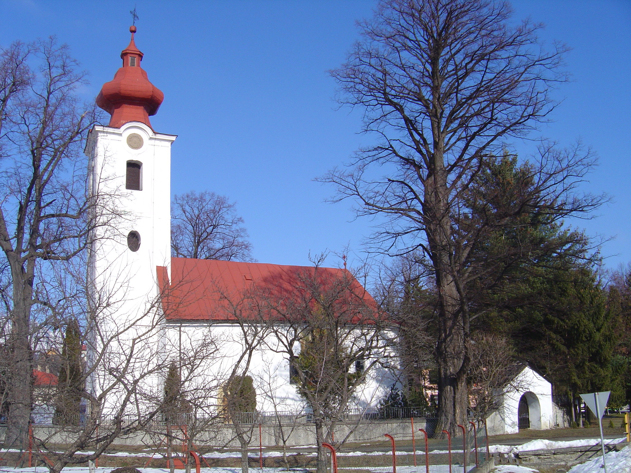
Katholische Kirche
Die Gemeinde wurde 1279 erstmals schriftlich als Chetene erwähnt.
Weblinks
 Commons: Batizovce – Sammlung von Bildern, Videos und AudiodateienGemeinden im Okres Poprad
Batizovce (Botzdorf) | Gánovce (Gansdorf) | Gerlachov (Gerlsdorf) | Hozelec (Hohesalz) | Hôrka (Horke) | Hranovnica (Grenitz) | Jánovce (Johannsdorf) | Kravany (Kuhschwanz) | Liptovská Teplička (Zeplitschke) | Lučivná (Lautschburg) | Mengusovce (Mengsdorf) | Mlynica (Mühlenbach) | Nová Lesná (Neuwalddorf) | Poprad (Deutschendorf) | Spišská Teplica (Teplitz) | Spišské Bystré (Kuhbach) | Spišský Štiavnik (Schawnig) | Svit | Štôla (Stollen) | Štrba (Tschirm) | Šuňava (Schönau) | Švábovce (Schwabsdorf) | Tatranská Javorina (Uhrngarten) | Veľký Slavkov (Großschlagendorf) | Vernár (Wernsdorf) | Vikartovce (Weigsdorf) | Vydrník (Wiedrig) | Vysoké Tatry | Ždiar (Morgenröthe)
Wikimedia Foundation.
Schlagen Sie auch in anderen Wörterbüchern nach:
Batizovce — (Village) Administration Pays Slovaquie … Wikipédia en Français
Batizovce — Geobox | Settlement name = Batizovce other name = category = Village image caption = symbol = etymology = official name = motto = nickname = country = Slovakia country state = region = Prešov district = Poprad municipality = part = river =… … Wikipedia
Privat Tatran Batizovce — (Батизовце,Словакия) Категория отеля: Адрес: Nalepkova 241/11, 059 35 Батиз … Каталог отелей
Championnat de Slovaquie de football 1941-1942 — Infobox compétition sportive I. Liga 1941 1942 Édition 4e Date 1941 1942 Participants 12 Promu(s) ASO Br … Wikipédia en Français
Championnat de Slovaquie de football 1942-1943 — Infobox compétition sportive I. Liga 1942 1943 Édition 5e Date 1942 1943 Participants 12 Promu(s) HG Sim … Wikipédia en Français
Vysoké Tatry (town) — Coordinates: 49°08′51″N 20°13′39″E / 49.1475°N 20.2275°E / 49.1475; 20.2275 … Wikipedia
D1 (Slowakei) — Vorlage:Infobox hochrangige Straße/Wartung/SK D Diaľnica D1 in der Slowakei … Deutsch Wikipedia
Ganovce — Gánovce Wappen Karte … Deutsch Wikipedia
Lautschburg — Lučivná Wappen Karte … Deutsch Wikipedia
Liptovska Teplicka — Liptovská Teplička Wappen Karte … Deutsch Wikipedia
-
Batizovce


18+
© Academic, 2000-2026
- Kontaktieren Sie uns: Unterstützung, Werbung
Wörterbücher Export, schritte mit PHP, Joomla, Drupal, WordPress, MODx.