- Vydrník
-
Vydrník
Wappen Karte 

Vydrník BasisdatenKraj: Prešovský kraj Okres: Poprad Region: Tatry Fläche: 4,960 km² Einwohner: 1.096 (31. Dez. 2010) Bevölkerungsdichte: 220,97 Einwohner je km² Höhe: 610 m n.m. Postleitzahl: 059 14 Telefonvorwahl: 0 52 Geographische Lage: 49° 0′ N, 20° 24′ O49.00166666666720.406666666667610Koordinaten: 49° 0′ 6″ N, 20° 24′ 24″ O Kfz-Kennzeichen: PP Gemeindekennziffer: 524093 StrukturGemeindeart: Gemeinde Verwaltung (Stand: Juni 2011)Bürgermeister: Peter Slobodník Adresse: Obecný úrad Vydrník
55
059 14 VydrníkWebpräsenz: www.vydrnik.ou.sk Gemeindeinformation
auf portal.gov.skStatistikinformation
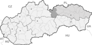
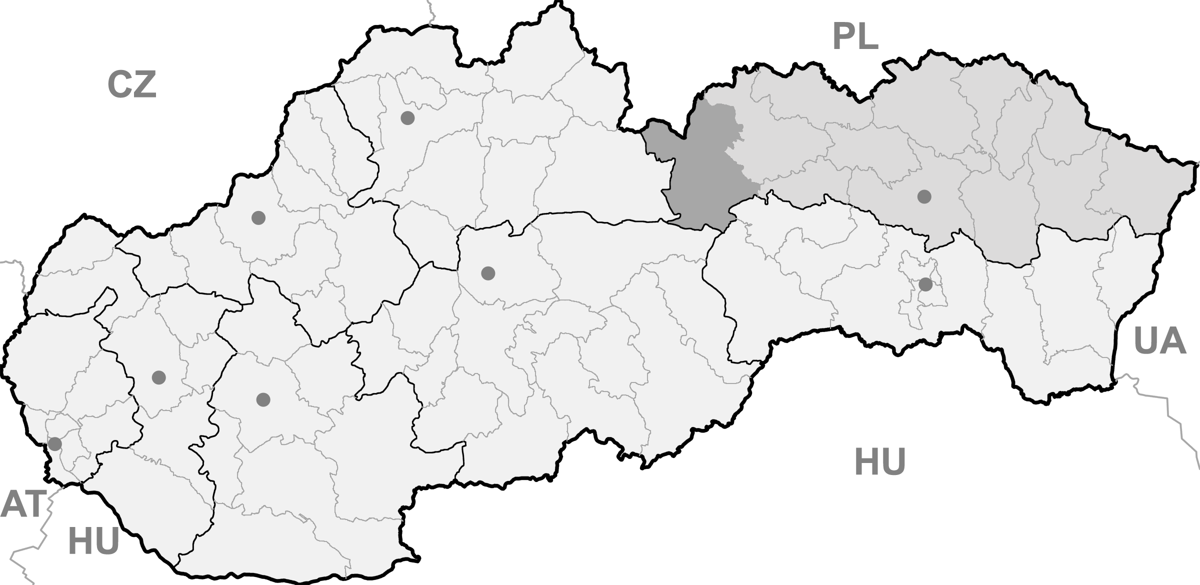
auf statistics.skVydrník (bis 1927 slowakisch „Vyderník“; deutsch Wiedrig, ungarisch Védfalu - bis 1907 Vidernik) ist eine Gemeinde im Osten der Slowakei, mit 1096 Einwohnern (Stand 31. Dezember 2010). Sie gehört zum Okres Poprad, der ein Teil des übergeordneten Bezirks Prešovský kraj ist.
Geographie
Die Gemeinde liegt am Bach Vydričanka, einem linken Zufluss von Hornád, im Westteil des Talkessels Hornádska kotlina. Traditionell gehört die Gemeinde zur Landschaft Zips. Vydrník ist 14 Kilometer von Poprad entfernt.
Geschichte
Der Ort wurde zum ersten Mal 1294 erwähnt, eine Siedlung gab es aber bereits zur Zeit des Großmährens. Das landwirtschaftlich orientierte Vydrník entstand innerhalb des Gutes vom nahen Kloster Spišský Štiavnik. Die heutige römisch-katholische Kirche wurde 1802 erbaut, an der Stelle einer gotischen Kirche aus dem 13. Jahrhundert. 1840 errichtete man ein kleines Heilbad am Standort der örtlichen Mineralquellen.
Batizovce (Botzdorf) | Gánovce (Gansdorf) | Gerlachov (Gerlsdorf) | Hozelec (Hohesalz) | Hôrka (Horke) | Hranovnica (Grenitz) | Jánovce (Johannsdorf) | Kravany (Kuhschwanz) | Liptovská Teplička (Zeplitschke) | Lučivná (Lautschburg) | Mengusovce (Mengsdorf) | Mlynica (Mühlenbach) | Nová Lesná (Neuwalddorf) | Poprad (Deutschendorf) | Spišská Teplica (Teplitz) | Spišské Bystré (Kuhbach) | Spišský Štiavnik (Schawnig) | Svit | Štôla (Stollen) | Štrba (Tschirm) | Šuňava (Schönau) | Švábovce (Schwabsdorf) | Tatranská Javorina (Uhrngarten) | Veľký Slavkov (Großschlagendorf) | Vernár (Wernsdorf) | Vikartovce (Weigsdorf) | Vydrník (Wiedrig) | Vysoké Tatry | Ždiar (Morgenröthe)

Wikimedia Foundation.