- Hozelec
-
Hozelec
Wappen Karte 

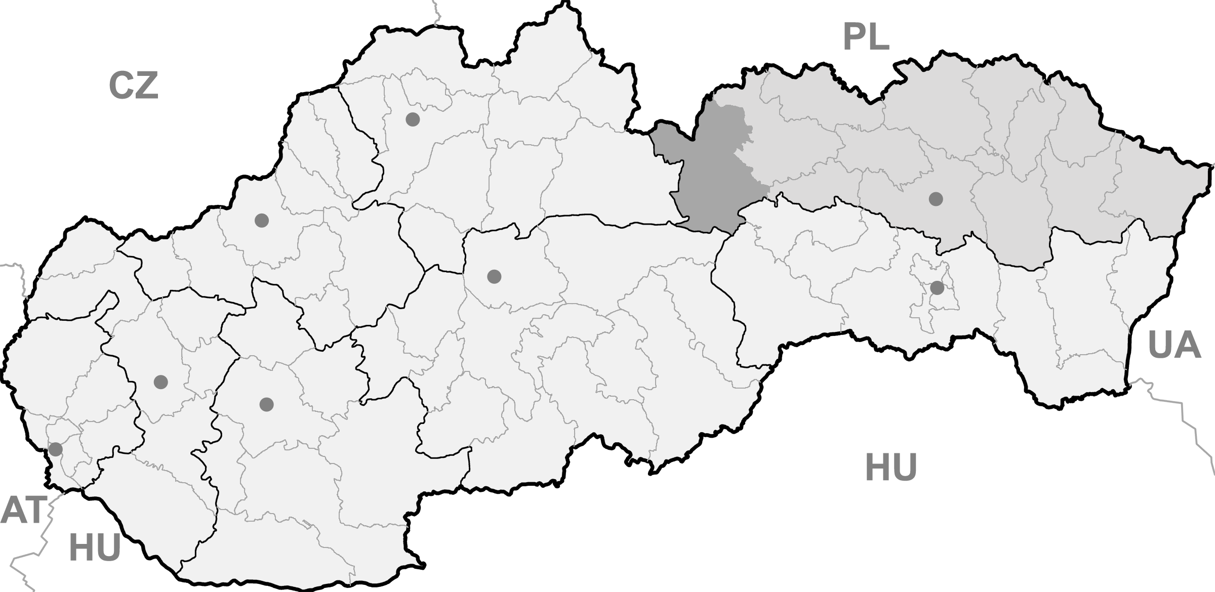
Hozelec BasisdatenKraj: Prešovský kraj Okres: Poprad Region: Tatry Fläche: 4,000 km² Einwohner: 862 (31. Dez. 2010) Bevölkerungsdichte: 215,5 Einwohner je km² Höhe: 695 m n.m. Postleitzahl: 059 11 Telefonvorwahl: 0 52 Geographische Lage: 49° 2′ N, 20° 21′ O49.03277777777820.345277777778695Koordinaten: 49° 1′ 58″ N, 20° 20′ 43″ O Kfz-Kennzeichen: PP Gemeindekennziffer: 523496 StrukturGemeindeart: Gemeinde Gliederung Gemeindegebiet: 2 Gemeindeteile Verwaltung (Stand: Juni 2011)Bürgermeister: Štefan Rakoci Adresse: Obecný úrad Hozelec
Hlavná 58
059 11 HozelecWebpräsenz: hozelec.webovka.eu Gemeindeinformation
auf portal.gov.skStatistikinformation
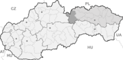
auf statistics.skHozelec (bis 1927 slowakisch „Hozolec“; deutsch Hohesalz oder Hoseletz, ungarisch Ószelec - bis 1907 Hozelec) ist eine Gemeinde im Osten der Slowakei, mit 862 Einwohnern (Stand 31. Dezember 2010). Sie gehört zum Okres Poprad, der ein Teil des übergeordneten Bezirks Prešovský kraj ist.
Geographie
Die Gemeinde liegt im Talkessel Podtatranská kotlina (Unter-Tatra-Kessel) in der traditionellen Landschaft Zips, zwischen den Bächen Gánovský potok und Hozelský potok, die zu zwei unterschiedlichen Einzugsgebiete: der erstgenannte gehört zu jenem der Ostsee, während der zweite zum Einzugsgebiet des Schwarzen Meers. Hozelec ist fünf Kilometer von Poprad entfernt.
Verwaltungstechnisch gliedert sich die Gemeinde in den Hauptort Hozelec und Ansiedlung Úsvit, die sich vier Kilometer nordöstlich von Hozelec befindet.
Geschichte
Der Ort wurde zum ersten Mal 1243 schriftlich erwähnt.
Batizovce (Botzdorf) | Gánovce (Gansdorf) | Gerlachov (Gerlsdorf) | Hozelec (Hohesalz) | Hôrka (Horke) | Hranovnica (Grenitz) | Jánovce (Johannsdorf) | Kravany (Kuhschwanz) | Liptovská Teplička (Zeplitschke) | Lučivná (Lautschburg) | Mengusovce (Mengsdorf) | Mlynica (Mühlenbach) | Nová Lesná (Neuwalddorf) | Poprad (Deutschendorf) | Spišská Teplica (Teplitz) | Spišské Bystré (Kuhbach) | Spišský Štiavnik (Schawnig) | Svit | Štôla (Stollen) | Štrba (Tschirm) | Šuňava (Schönau) | Švábovce (Schwabsdorf) | Tatranská Javorina (Uhrngarten) | Veľký Slavkov (Großschlagendorf) | Vernár (Wernsdorf) | Vikartovce (Weigsdorf) | Vydrník (Wiedrig) | Vysoké Tatry | Ždiar (Morgenröthe)

Wikimedia Foundation.