- Švábovce
-
Švábovce
Wappen Karte 
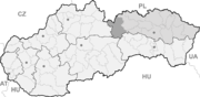

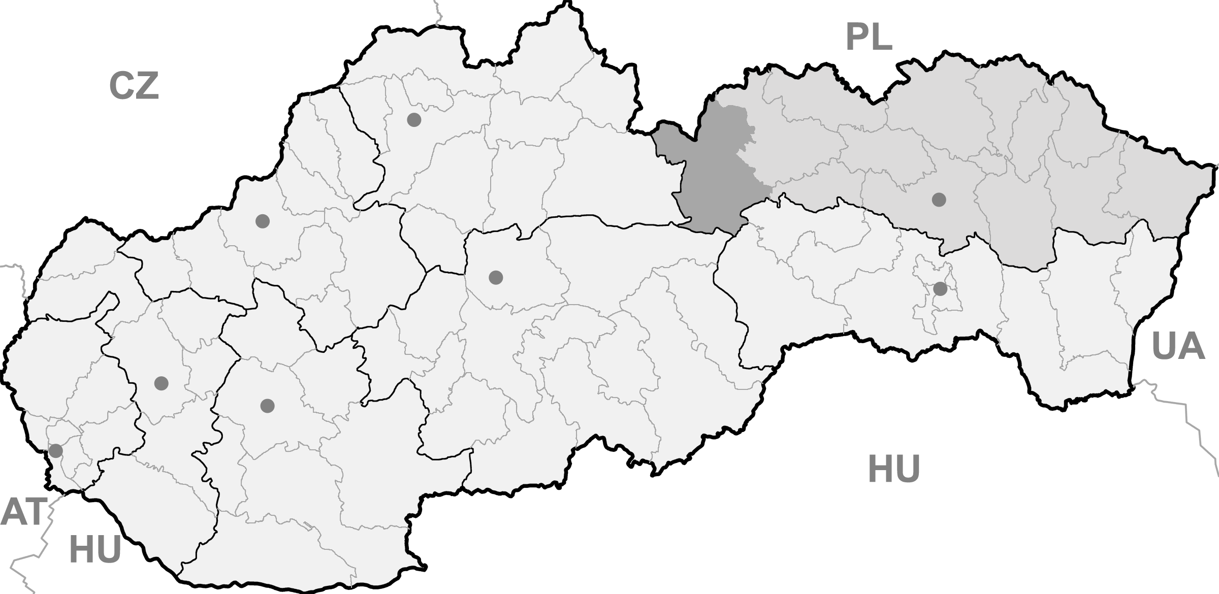
Švábovce BasisdatenKraj: Prešovský kraj Okres: Poprad Region: Tatry Fläche: 9,173 km² Einwohner: 1.221 (31. Dez. 2010) Bevölkerungsdichte: 133,11 Einwohner je km² Höhe: 639 m n.m. Postleitzahl: 059 12 (Postamt Hôrka) Telefonvorwahl: 0 52 Geographische Lage: 49° 2′ N, 20° 21′ O49.02638888888920.358333333333639Koordinaten: 49° 1′ 35″ N, 20° 21′ 30″ O Kfz-Kennzeichen: PP Gemeindekennziffer: 523950 StrukturGemeindeart: Gemeinde Verwaltung (Stand: Juni 2011)Bürgermeister: Ján Mlynár Adresse: Obecný úrad Švábovce
55
059 12 HôrkaWebpräsenz: www.svabovce.ocu.sk Gemeindeinformation
auf portal.gov.skStatistikinformation
auf statistics.skŠvábovce (deutsch Schwabsdorf, ungarisch Svábfalva - bis 1907 Svábóc) ist eine Gemeinde im Osten der Slowakei, mit 1221 Einwohnern (Stand 31. Dezember 2010). Sie gehört zum Okres Poprad, der ein Teil des übergeordneten Bezirks Prešovský kraj ist.
Geographie
Die Gemeinde liegt sieben Kilometer südöstlich von Poprad, in der traditionellen Landschaft Zips.
Geschichte
Der Ort wurde zum ersten Mal 1278 als villa Sweui erwähnt und gehörte zur Bruderschaft der 24 königlichen Pfarren, mit welcher auch die Existenz einer Kirche belegen lässt. Im 17. Jahrhundert wurde ein Mangan-Bergwerk südlich des Hauptortes in Betrieb genommen, das bis in die 1970er Jahre tätig war.
Zu den Sehenswürdigkeiten gehört eine gotische römisch-katholische Kirche aus dem 14. Jahrhundert sowie eine evangelische Kirche aus dem Jahr 1970.
Batizovce (Botzdorf) | Gánovce (Gansdorf) | Gerlachov (Gerlsdorf) | Hozelec (Hohesalz) | Hôrka (Horke) | Hranovnica (Grenitz) | Jánovce (Johannsdorf) | Kravany (Kuhschwanz) | Liptovská Teplička (Zeplitschke) | Lučivná (Lautschburg) | Mengusovce (Mengsdorf) | Mlynica (Mühlenbach) | Nová Lesná (Neuwalddorf) | Poprad (Deutschendorf) | Spišská Teplica (Teplitz) | Spišské Bystré (Kuhbach) | Spišský Štiavnik (Schawnig) | Svit | Štôla (Stollen) | Štrba (Tschirm) | Šuňava (Schönau) | Švábovce (Schwabsdorf) | Tatranská Javorina (Uhrngarten) | Veľký Slavkov (Großschlagendorf) | Vernár (Wernsdorf) | Vikartovce (Weigsdorf) | Vydrník (Wiedrig) | Vysoké Tatry | Ždiar (Morgenröthe)

Wikimedia Foundation.