- Koumac
-
Basisdaten Land: Neukaledonien Provinz: Province Nord Höhe: 0 m - 823 m Fläche: 550 km² Einwohner: 3.003
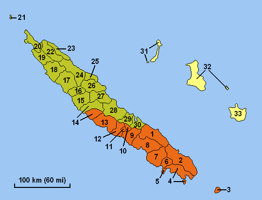
(2004)Bevölkerungsdichte: 5 Einwohner je km² INSEE-Code: 98812[1] Postleitzahl: 98850[2] Karte (Nr. 19 ist Koumac) 
Koumac ist eine Gemeinde in der Nordprovinz in Neukaledonien. Sie liegt auf der Hauptinsel Grande Terre und einigen vorgelagerten Inseln.
Es gibt einen kleinen Flughafen.
Die höchste Erhebung ist der Piton de Pandop mit 823 m, wo auch Bergbau betrieben wird.
Bevölkerung
Bevölkerungsentwicklung in Koumac (2009 geschätzt)[3] Einwohner 1.190 993 1.017 1.448 1.405 2.194 2.647 3.003 3.278 Jahr 1956 1963 1969 1976 1983 1989 1996 2004 2009 Einzelnachweise
- ↑ Mairie de Koumac
- ↑ Les codes postaux, Nouvelle-Calédonie
- ↑ Bevölkerungsentwicklung in Koumac 1956–2009
Belep | Bouloupari | Bourail | Canala | Dumbéa | Farino | Hienghène | Houaïlou | L’Île-des-Pins | Kaala-Gomen | Koné | Kouaoua | Koumac | La Foa | Lifou | Maré | Moindou | Le Mont-Dore | Nouméa | Ouégoa | Ouvéa | Païta | Poindimié | Ponérihouen | Pouébo | Pouembout | Poum | Poya | Sarraméa | Thio | Touho | Voh | Yaté
Wikimedia Foundation.