- Moindou
-
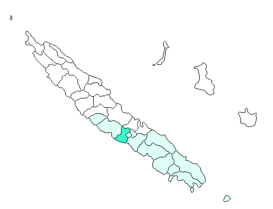
Basisdaten Land: Neukaledonien Provinz: Province Sud Höhe: 0 m - 1006 m Fläche: 321,9 km² Einwohner: 602
(2004)Bevölkerungsdichte: 2 Einwohner je km² INSEE-Code: 98816[1] Postleitzahl: 98819[2] Karte 
Moindou ist eine Gemeinde in der Südprovinz in Neukaledonien.
Die Gemeinde liegt größtenteils auf der Hauptinsel Grande Terre, aber auch weitere kleine Inseln vor der Küste gehören dazu. Die Orte der Gemeinde Moindou sind: Kéré(?), Moméa, Mouidou (Hauptort) und Téremba.
Die höchste Erhebung ist der Table Unio mit 1006 Metern.
Bevölkerung
Bevölkerungsentwicklung in Moindou (2009 geschätzt)[3] Einwohner 272 392 291 387 378 461 568 602 631 Jahr 1956 1963 1969 1976 1983 1989 1996 2004 2009 Einzelnachweise
- ↑ Mairie de Moindou
- ↑ Les codes postaux, Nouvelle-Calédonie
- ↑ Bevölkerungsentwicklung in Moindou 1956–2009
Belep | Bouloupari | Bourail | Canala | Dumbéa | Farino | Hienghène | Houaïlou | L’Île-des-Pins | Kaala-Gomen | Koné | Kouaoua | Koumac | La Foa | Lifou | Maré | Moindou | Le Mont-Dore | Nouméa | Ouégoa | Ouvéa | Païta | Poindimié | Ponérihouen | Pouébo | Pouembout | Poum | Poya | Sarraméa | Thio | Touho | Voh | Yaté
Wikimedia Foundation.