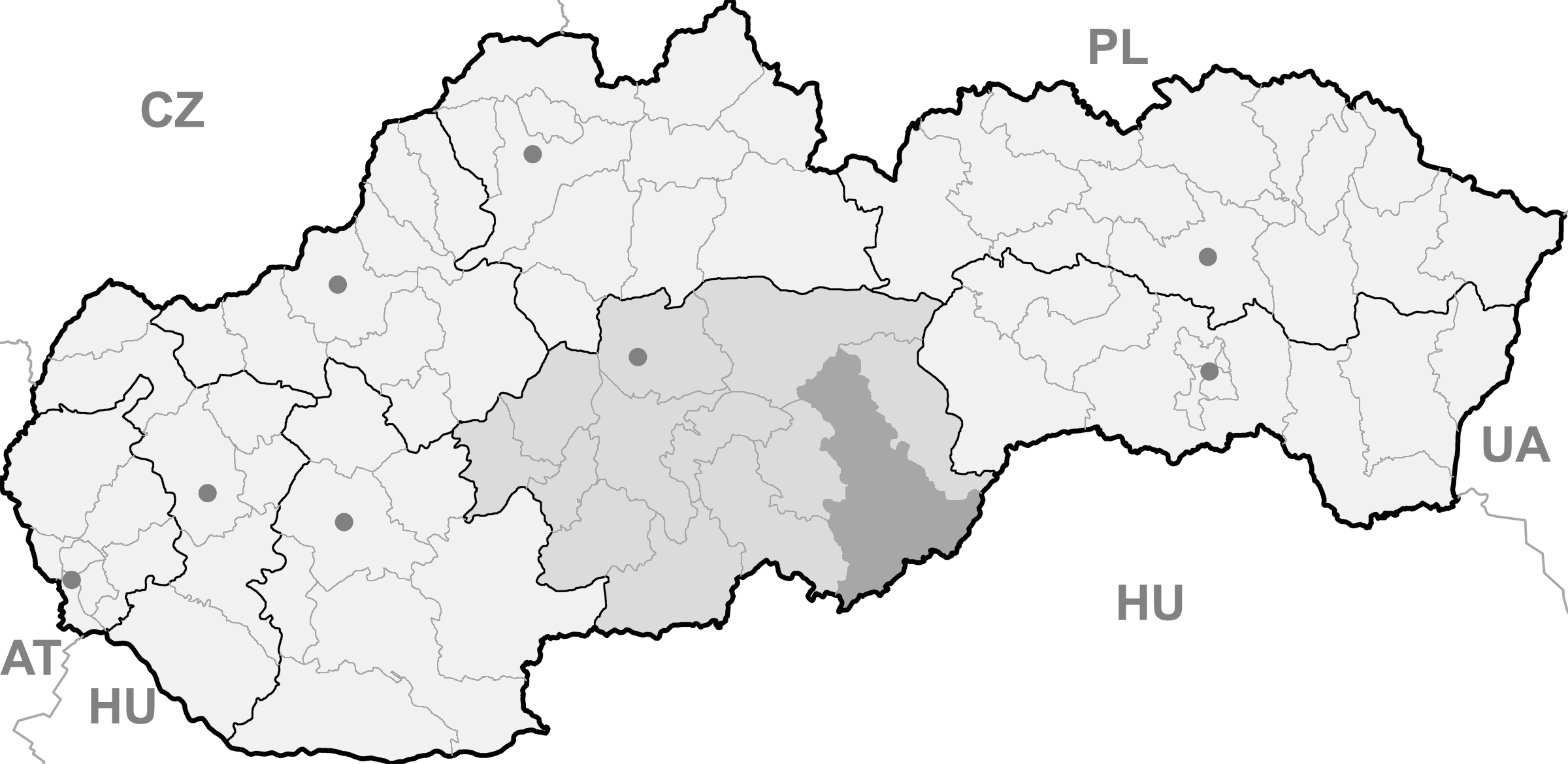
- Ožďany
-
Ožďany
Wappen Karte 


Ožďany BasisdatenKraj: Banskobystrický kraj Okres: Rimavská Sobota Region: Gemer Fläche: 37,172 km² Einwohner: 1.577 (31. Dez. 2010) Bevölkerungsdichte: 42,42 Einwohner je km² Höhe: 213 m n.m. Postleitzahl: 980 11 Telefonvorwahl: 0 47 Geographische Lage: 48° 23′ N, 19° 54′ O48.38333333333319.9213Koordinaten: 48° 23′ 0″ N, 19° 54′ 0″ O Kfz-Kennzeichen: RS Gemeindekennziffer: 515264 StrukturGemeindeart: Gemeinde Verwaltung (Stand: November 2010)Bürgermeister: Adrián Barto Adresse: Obecný úrad Ožďany
64
980 11 OžďanyWebpräsenz: www.ozdany.sk Gemeindeinformation
auf portal.gov.skStatistikinformation
auf statistics.skOžďany (ungarisch Osgyán) ist eine Gemeinde in der Südmittelslowakei.
Inhaltsverzeichnis
Lage
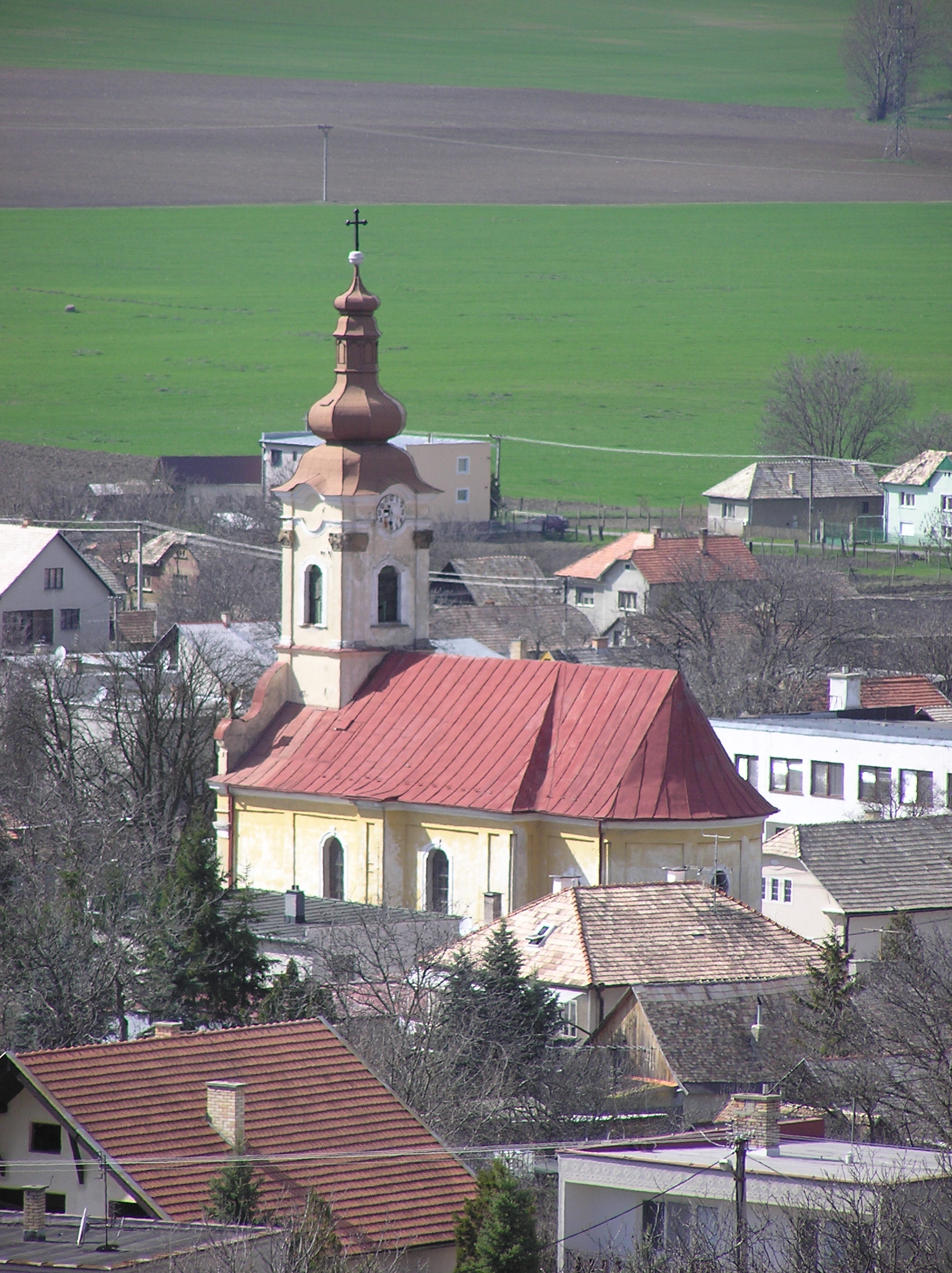
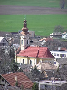 Römisch-katholische Kirche im Ort
Sie liegt im Ostteil der Lučenská kotlina am Flüsschen Suchá, an der Hauptstraße (Bezeichnung: I/50, Europastraße 58) zwischen Lučenec (20 km nach Westen) und Rimavská Sobota (11 km nach Osten).
Geschichte
Obwohl schon im 13. Jahrhundert hier eine Siedlung existierte, stammt die erste Erwähnung aus dem Jahr 1332 als Osyan. Am Anfang des 14. Jahrhunderts wurde eine Burg errichtet. Sie wurde 1452 von Hussiten erobert, seit 1460 gehörte sie der Bakos-Familie. 1604 wurde sie von kaiserlichen Truppen niedergebrannt; auf die Reste wurde ein Kastell gebaut. Das Dorf selbst war eine landwirtschaftliche Siedlung. Nach 1786 wurde die Ortslage Šranky eingemeindet.
Bis 1919 gehörte das Dorf im Komitat Gemer und Kleinhont zum Königreich Ungarn, danach kam es zur neu entstandenen Tschechoslowakei. Aufgrund des Ersten Wiener Schiedsspruches gehörte es von 1938 bis 1945 noch einmal zu Ungarn und ist seit 1993 ein Teil der heutigen Slowakei.
Sehenswürdigkeiten
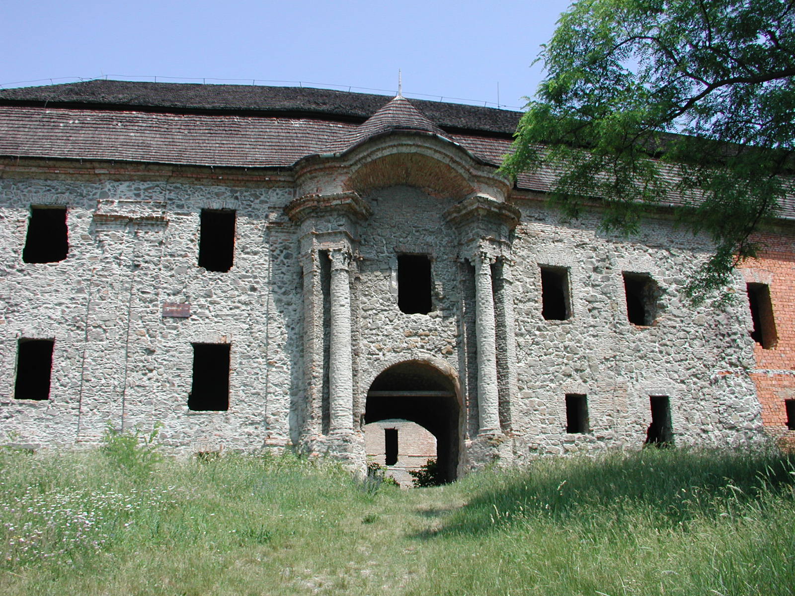
 Kastell in Ožďany, Eingang
- Renaissance-Kastell aus dem 17. Jahrhundert, errichtet auf den Ruinen der gotischen Burg. Heute im verfallenden Zustand.
- römisch-katholische Kirche aus den Jahren 1768-74
- evangelische Kirche aus dem Jahr 1825
Weblinks
Abovce | Babinec | Barca | Bátka | Belín | Blhovce | Bottovo | Budikovany | Cakov | Čerenčany | Čierny Potok | Číž | Dolné Zahorany | Dražice | Drienčany | Drňa | Dubno | Dubovec | Dulovo | Figa | Gemerček | Gemerské Dechtáre | Gemerské Michalovce | Gemerský Jablonec | Gortva | Hajnáčka (Pirsenstein) | Hnúšťa (Nusten) | Hodejov | Hodejovec | Horné Zahorany | Hostice | Hostišovce | Hrachovo | Hrušovo | Hubovo | Husiná | Chanava | Chrámec | Ivanice | Janice | Jesenské | Jestice | Kaloša | Kesovce | Klenovec (Klenowetz) | Kociha | Konrádovce | Kráľ | Kraskovo | Krokava | Kružno | Kyjatice | Lehota nad Rimavicou | Lenartovce | Lenka | Lipovec | Lukovištia | Martinová | Neporadza | Nižný Skálnik | Nová Bašta | Orávka | Ožďany | Padarovce | Pavlovce | Petrovce | Poproč | Potok | Radnovce | Rakytník | Ratkovská Lehota | Ratkovská Suchá | Riečka | Rimavská Baňa | Rimavská Seč | Rimavská Sobota (Großsteffelsdorf) | Rimavské Brezovo | Rimavské Janovce | Rimavské Zalužany | Rovné | Rumince | Slizké | Stará Bašta | Stránska | Studená | Sútor | Šimonovce | Širkovce | Španie Pole | Štrkovec | Tachty | Teplý Vrch | Tisovec (Theißholz) | Tomášovce | Uzovská Panica | Valice | Včelince | Večelkov | Veľké Teriakovce | Veľký Blh | Vieska nad Blhom | Vlkyňa | Vyšné Valice | Vyšný Skálnik | Zacharovce | Zádor | Žíp
Wikimedia Foundation.