- Sule Stack
-
Sule Stack
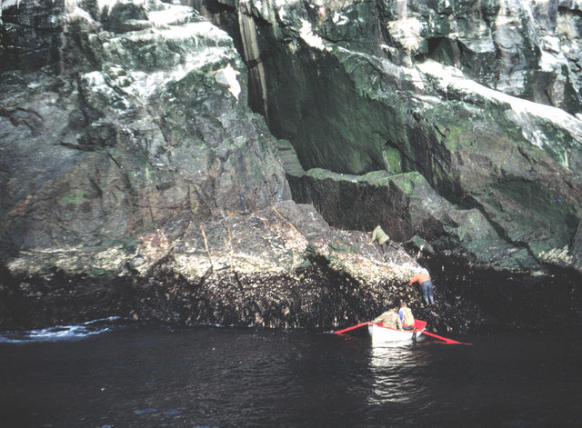
(Stack Skerry)Sule Stack erscheint vom Westen aus als Doppelfelsen
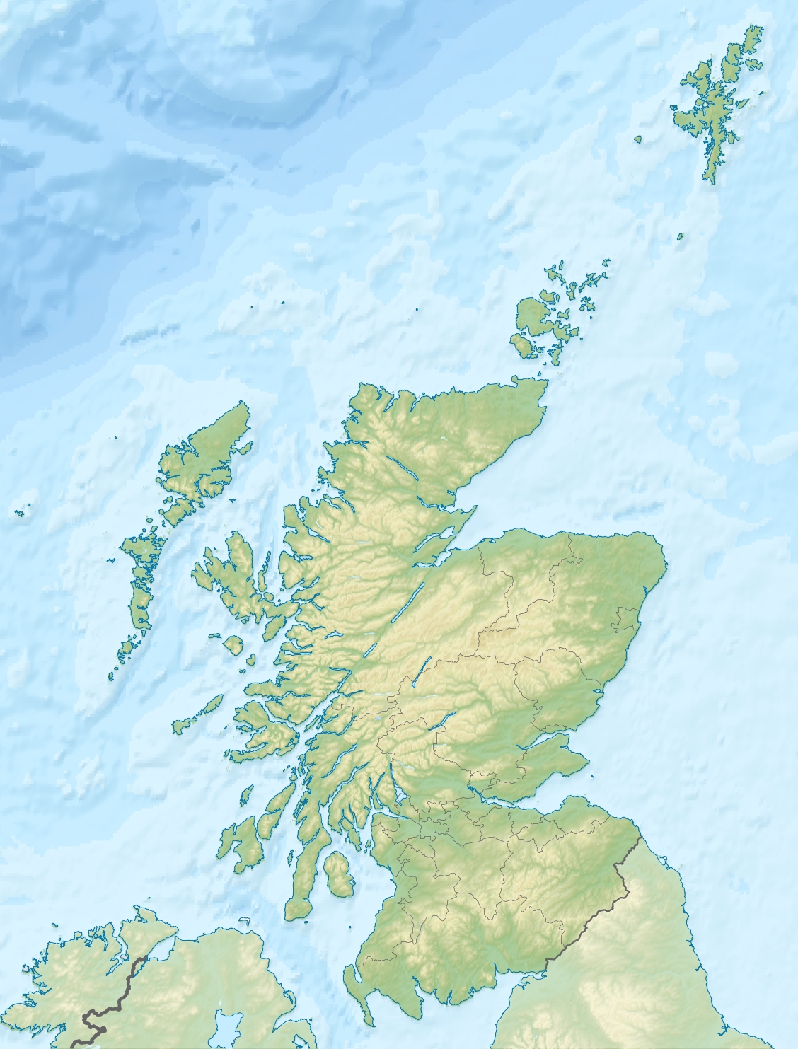
Gewässer Atlantischer Ozean Inselgruppe Orkneyinseln Geographische Lage 59° 1′ 20″ N, 4° 30′ 1″ W59.022222222222-4.500277777777836Koordinaten: 59° 1′ 20″ N, 4° 30′ 1″ W 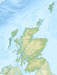

Länge 300 m Breite 150 m Fläche 2,9 ha Höchste Erhebung 36 m Einwohner (unbewohnt) Anlandeplatz (1967)
Sule Stack, auch Stack Skerry (engl. stack = Felsnadel, skerry = Schäre), ist eine steile, felsige und unbewohnte nordatlantische Insel im Westen der schottischen Orkneyinseln. Die Insel weist eine Fläche von 2,9 Hektar auf, und erreicht eine Höhe von 36 Metern.
Etwa 10 Kilometer nordöstlich von Sule Stack liegt die größere Insel Sule Skerry, eine flache und grasbewachsene Insel mit einem Leuchtturm. Beide Inseln liegen auf der Skerry Bank, einer ansonsten untermeerischen Erhebung.
Beide Inseln zählen zum UNESCO-Biosphärenreservat, das als „Sule Skerry and Sule Stack“ bekannt ist.
Literatur
- National Geospatial-Intelligence Agency: Sailing Directions (Enroute), Pub. 141, Scotland
 Inseln der Orkneyinseln
Auskerry | Burray | Calf of Eday | Cava | Copinsay | Damsay | Eday | Egilsay | Eynhallow | Fara | Faray | Flotta | Girsay | Graemsay | Holm of Grimbister | Holm of Huip | Holm of Papa | Hoy | Lamb Holm | Linga Holm | Mainland | North Ronaldsay | Papa Stronsay | Papa Westray | Rousay | Rysa Little | Sanday | Shapinsay | South Ronaldsay | Stronsay | Sule Skerry | Sule Stack | Switha | Swona | Westray | Wyre
Wikimedia Foundation.
Schlagen Sie auch in anderen Wörterbüchern nach:
Sule Stack — o Stack Skerry es una isla volcánica escocesa extremadamente remota en el Atlántico Norte, al norte de las costas de Escocia. Sule Stack se encuentra localizada a 66 kilómetros al oeste de Mainland (Órcadas). Su única isla vecina, Sule Skerry, se … Wikipedia Español
Sule Stack — Infobox Scottish island | latitude=59.02 longitude= 4.51 GridReference=HX561179 celtic name= norse name= meaning of name= area= area rank= highest elevation= Population=0 population rank= main settlement= island group= North Atlantic local… … Wikipedia
Sule Stack — Pour les articles homonymes, voir Sule. Sule Stack Géographie Pays … Wikipédia en Français
Sule Skerry und Sule Stack — Lage der Inseln Sule Skerry und Sule Stack (Sule Skerry and Sule Stack) bezeichnet ein von der UNESCO anerkanntes Biosphärenreservat im Nordatlantik. Es besteht aus den unbewohnten Inseln Sule Skerry und Sule Stack, die beide auf der Skerry Bank… … Deutsch Wikipedia
Sule Skerry — Anlandeplatz (1967) Gewässer Atlantischer Ozean … Deutsch Wikipedia
Sule — steht für Sule (Fluss), Flusssystem der Weser Sule Skerry, Schäre an der Nordküste von Schottland Sule Stack, Vulkanfelsklippen an der Nordküste von Schottland Sule ist der Familienname folgender Personen: Anselmo Sule Candia (1934–2002),… … Deutsch Wikipedia
Sule Skerry — Infobox Scottish island | latitude=59.08 longitude= 4.41 GridReference=HX621244 celtic name= norse name= meaning of name= area= area rank= highest elevation= Population=0 population rank= main settlement= island group= North Atlantic local… … Wikipedia
Sule — Cette page d’homonymie répertorie les différents sujets et articles partageant un même nom. Sule peut désigner : Sule Skerry, une île d Écosse ; Sule Stack, une île d Écosse. Voir aussi Sula Sgeir, une île d Écosse. Catégorie : Homo … Wikipédia en Français
Orkney — Àrcaibh Flagge von Orkney … Deutsch Wikipedia
Orkney — This article is about the islands in northern Scotland. For other places of the same name, see Orkney (disambiguation). Orkney Arcaibh … Wikipedia
Sule Stack
18+
© Academic, 2000-2026
- Kontaktieren Sie uns: Unterstützung, Werbung
Wörterbücher Export, schritte mit PHP, Joomla, Drupal, WordPress, MODx.