- Kitamoto
-
Kitamoto-shi
北本市

Geographische Lage in Japan Region: Kantō Präfektur: Saitama Koordinaten: 36° 2′ N, 139° 32′ O36.02695139.53023055556Koordinaten: 36° 1′ 37″ N, 139° 31′ 49″ O Basisdaten Fläche: 19,84 km² Einwohner: 68.662
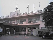
(1. Juli 2011)Bevölkerungsdichte: 3.461 Einwohner je km² Gemeindeschlüssel: 11233-0 Symbole Baum: Kirsche Blume: Garten-Chrysantheme Lied: Kitamoto Ondo Rathaus Adresse: Kitamoto City Hall
1-111 Hon-chō
Kitamoto-shi
Saitama 364-8633Lage Kitamotos in der Präfektur Saitama 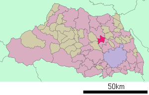
Kitamoto (jap. 北本市, -shi) ist eine Stadt im Zentrum der Präfektur Saitama.
Inhaltsverzeichnis
Geographie
Kitamoto liegt nördlich von Saitama und Okegawa und südlich von Kōnosu und Kumagaya.
Der Arakawa durchfließt die Stadt von Norden nach Süden. Kitamoto liegt auf der Ōmiya-Hochebene.
Geschichte
Kitamoto erhielt am 3. November 1971 das Stadtrecht.
Verkehr
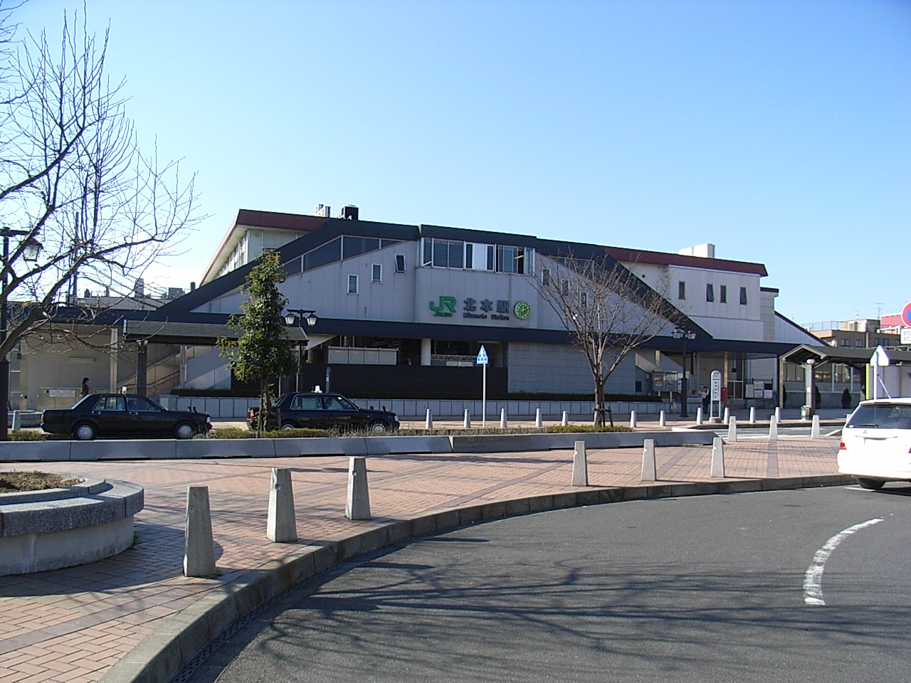
 Bahnhof Kitamoto
- Straße:
- Nationalstraße 17, nach Tōkyō oder Niigata
- Nakasendō
- Zug:
- JR Takasaki-Linie, Bahnhof Kitamoto, nach Ueno oder Takasaki
Angrenzende Städte und Gemeinden
Weblinks
-
 Commons: Kitamoto – Sammlung von Bildern, Videos und Audiodateien
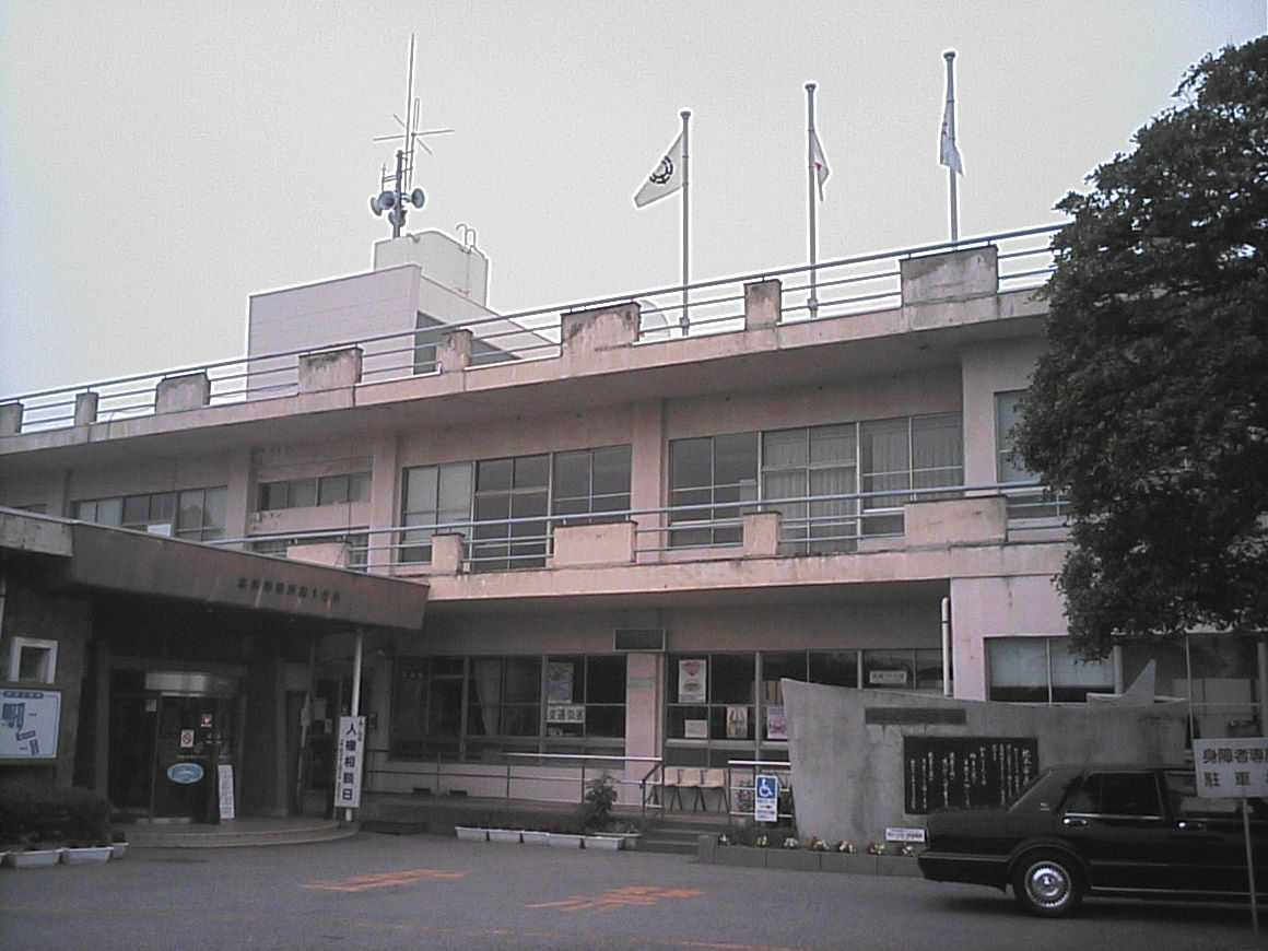
 Rathaus von Kitamoto
 Gemeinden und Landkreise in der Präfektur Saitama
Kreisfreie Städte (shi): Ageo | Asaka | Chichibu | Fujimi | Fujimino | Fukaya | Gyōda | Hannō | Hanyū | Hasuda | Hatogaya | Hidaka | Higashimatsuyama | Honjō | Iruma | Kasukabe | Kawagoe | Kawaguchi | Kazo | Kitamoto | Koshigaya | Kōnosu | Kuki | Kumagaya | Misato | Niiza | Okegawa | Saitama (Verwaltungssitz) | Sakado | Satte | Sayama | Shiki | Sōka | Toda | Tokorozawa | Tsurugashima | Wakō | Warabi | Yashio | Yoshikawa
Chichibu-gun: Higashichichibu | Minano | Nagatoro | Ogano | Yokoze | Hiki-gun: Hatoyama | Kawajima | Namegawa | Ogawa | Ranzan | Tokigawa | Yoshimi | Iruma-gun: Miyoshi | Moroyama | Ogose | Kitaadachi-gun: Ina | Kitakatsushika-gun: Matsubushi | Sugito | Kodama-gun: Kamikawa | Kamisato | Misato | Minamisaitama-gun: Miyashiro | Shiraoka | Ōsato-gun: Yorii
Wikimedia Foundation.
Schlagen Sie auch in anderen Wörterbüchern nach:
Kitamoto — shi (北本市) Parc de Kitamoto Administration Pays Japon Région Kantō Préfecture … Wikipédia en Français
Kitamoto — (北本市; shi) es una ciudad que se encuentra en Saitama, Japón. Según datos de 2003, la ciudad tiene una población estimada de 70.237 habitantes y una densidad de 3.540,17 personas por km². El área total es de 19,84 km². La ciudad fue fundada el 3… … Enciclopedia Universal
Kitamoto (Saitama) — 北本市 Kitamoto … Wikipedia Español
Kitamoto, Saitama — Japanese city Name = Kitamoto JapaneseName=北本市 Prefecture=Saitama Region=Kantō Area km2=19.84 Population=70,237 PopDate=2003 Density km2=3540 Coords = coord|36|2|N|139|32|E|region:JP type:city Postal code= Area code= Mayor = Tree = Flower = Bird … Wikipedia
Kitamoto Station — infobox japan station caption=the east entrance of Kitamoto Station name=北本 namerom=Kitamoto pref=Saitama district= city=Kitamoto ward= open=1928 close= presentname= line= JR East Takasaki Line operator= bus=nihongo|Kitamoto Station|北本駅|Kitamoto… … Wikipedia
Kitamoto Shi — Admin ASC 2 Code Orig. name Kitamoto Shi Country and Admin Code JP.34.7464125 JP … World countries Adminstrative division ASC I-II
Konosu — 鴻巣市 Kōnosu shi Geographische Lage in Japan … Deutsch Wikipedia
Kounosu — 鴻巣市 Kōnosu shi Geographische Lage in Japan … Deutsch Wikipedia
1994 Pacific typhoon season — Infobox hurricane season Basin=WPac Year=1994 Track=1994 Pacific typhoon season summary.jpg First storm formed=January 2, 1994 Last storm dissipated=December 25, 1994 Strongest storm name=Doug Strongest storm pressure=910 Strongest storm… … Wikipedia
The Sound of the Mountain — infobox book name = The Sound of the Mountain title orig = 山の音 Yama no Oto author = Yasunari Kawabata country = Japan language = Japanese genre = Novel publisher = pub date = english pub date = 1970 media type = Print (paperback) preceded by =… … Wikipedia
- Straße:
Kitamoto


18+
© Academic, 2000-2026
- Kontaktieren Sie uns: Unterstützung, Werbung
Wörterbücher Export, schritte mit PHP, Joomla, Drupal, WordPress, MODx.