- Kounosu
-
鴻巣市
Kōnosu-shi
Geographische Lage in Japan Datei:Japan equirectangular projection.png
Region: Kantō Präfektur: Saitama Koordinaten: 36° 4′ N, 139° 31′ O36.065911111111139.52220833333Koordinaten: 36° 3′ 57″ N, 139° 31′ 20″ O Basisdaten Fläche: 67,49 km² Einwohner: 119.737
(1. Feb. 2007)Bevölkerungsdichte: 1.774 Einwohner je km² Gemeindeschlüssel: 11217-8 Symbole Wappen: 
Baum: Japanische Zelkove Blume: Stiefmütterchen Farbe: Ultramarinblau Rathaus Adresse: Kōnosu City Hall
1-1, Chūō
Kōnosu-shi
Saitama 365-8601Webadresse: Lage Kōnosus in der Präfektur Saitama 
Kōnosu (jap. 鴻巣市, -shi) ist eine Stadt im Zentrum der japanischen Präfektur Saitama.
Inhaltsverzeichnis
Geographie
Kōnosu liegt nördlich von Saitama und Kitamoto und südlich von Kumagaya.
Der Arakawa durchfließt die Stadt von Norden nach Süden. Kōnosu liegt auf der Ōmiya-Hochebene.
Geschichte
Kōnosu war eine Poststation (宿場町 Shukuba-machi) der Nakasendō während der Edo-Zeit.
Kōnosu erhielt am 30. September 1954 mit der Eingemeindung des Dorfes Jōkō (常光村, -mura) im Landkreis Kitaadachi das Stadtrecht.
Sehenswürdigkeiten
- Kirschblüten-Fest
- Hina-ningyō-Museum.
Verkehr
- Straße:
- Zug:
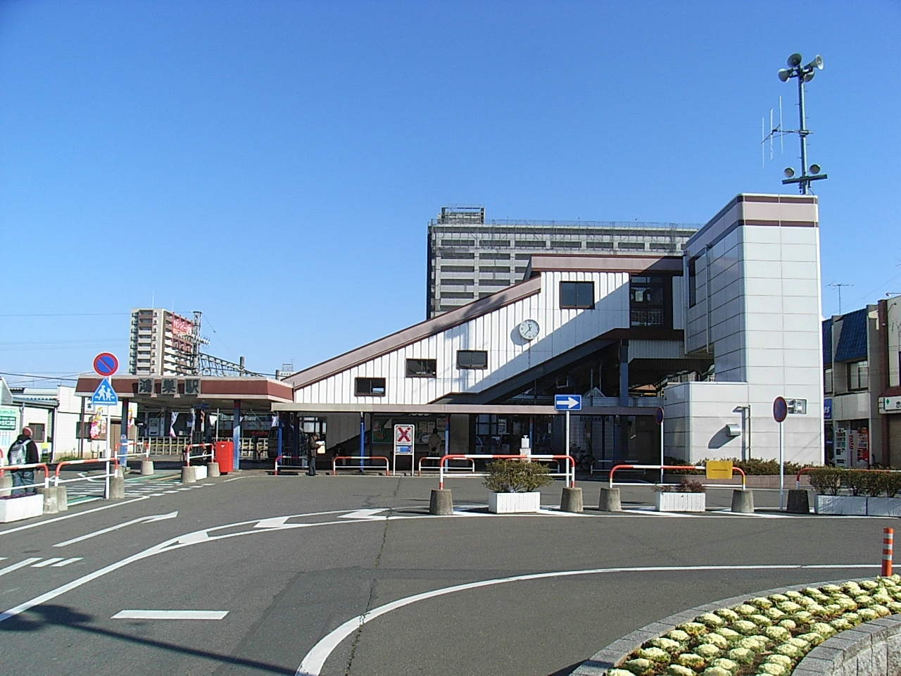
- JR Takasaki-Linie, Bahnhof Kōnosu, Kita-Kōnosu und Fukiage nach Ueno oder Takasaki
Persönlichkeiten
- Shōei (*1974 Schauspieler)
Angrenzende Städte und Gemeinden
Weblinks
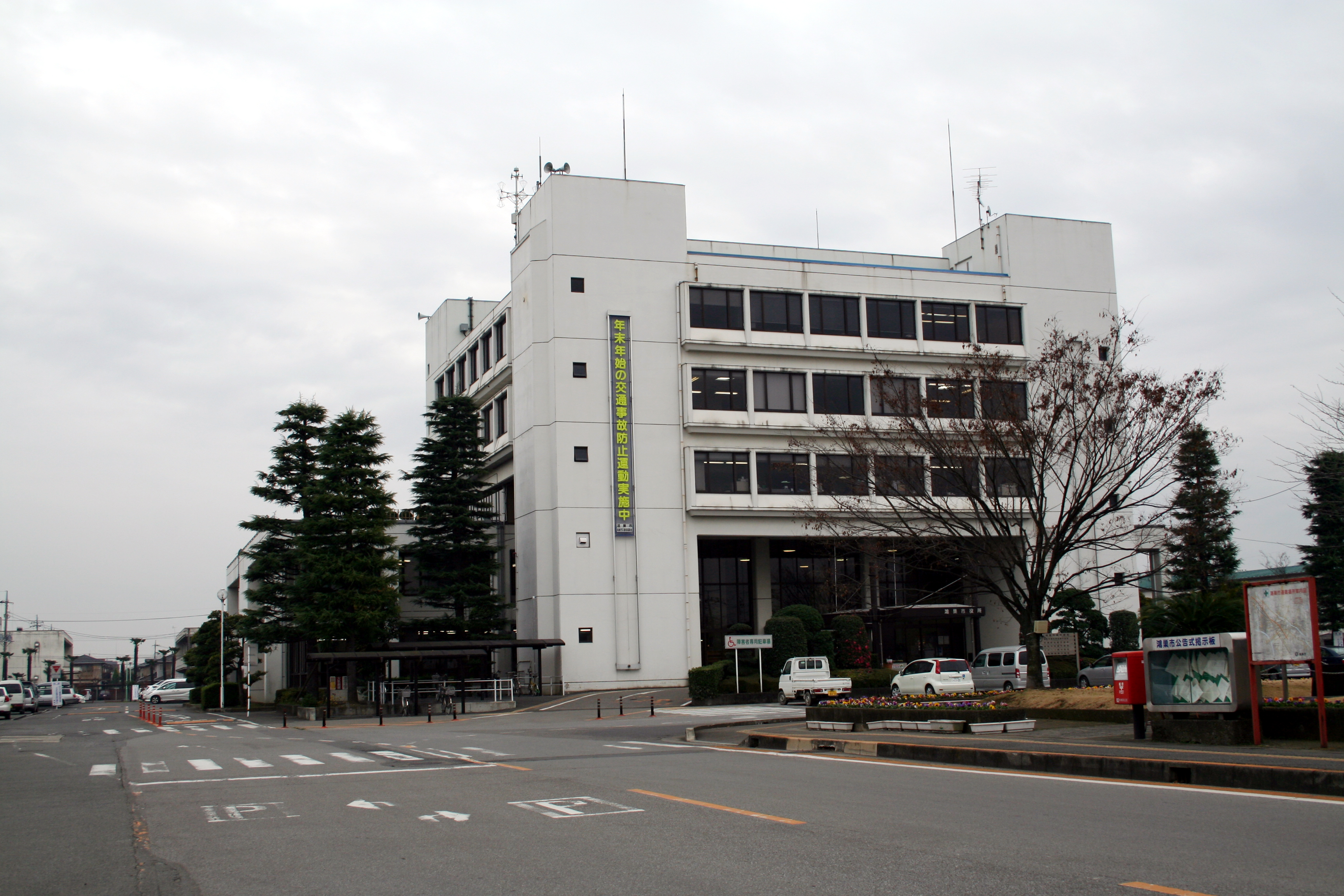
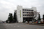 Rathaus von Kōnosu
 Städte in der Präfektur Saitama
Ageo | Asaka | Chichibu | Fujimi | Fujimino | Fukaya | Gyōda | Hannō | Hanyū | Hasuda | Hatogaya | Hidaka | Higashimatsuyama | Honjō | Iruma | Kasukabe | Kawagoe | Kawaguchi | Kazo | Kitamoto | Koshigaya | Kōnosu | Kuki | Kumagaya | Misato | Niiza | Okegawa | Saitama (Verwaltungsssitz) | Sakado | Satte | Sayama | Shiki | Sōka | Toda | Tokorozawa | Tsurugashima | Wakō | Warabi | Yashio | Yoshikawa


Wikimedia Foundation.