- Ivanka pri Nitre
-
Ivanka pri Nitre
Wappen Karte 
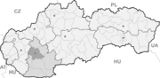

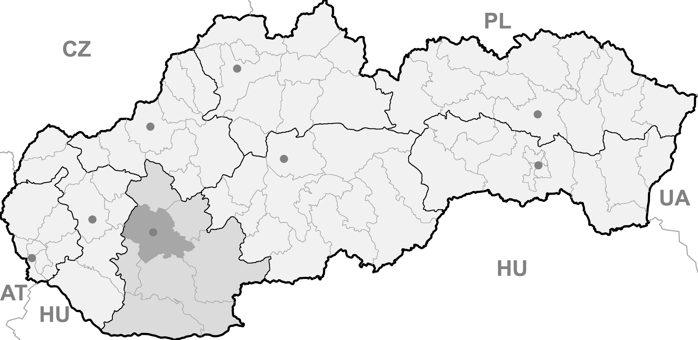
Ivanka pri Nitre BasisdatenKraj: Nitriansky kraj Okres: Nitra Region: Nitra Fläche: 14,91 km² Einwohner: 2.486 (31. Dez. 2010) Bevölkerungsdichte: 166,73 Einwohner je km² Höhe: 146 m n.m. Postleitzahl: 951 12 Telefonvorwahl: 0 37 Geographische Lage: 48° 14′ N, 18° 7′ O48.23777777777818.118055555556146Koordinaten: 48° 14′ 16″ N, 18° 7′ 5″ O Kfz-Kennzeichen: NR Gemeindekennziffer: 558320 StrukturGemeindeart: Gemeinde Verwaltung (Stand: November 2010)Bürgermeister: Ľuboš Gál Adresse: Obecný úrad Ivanka pri Nitre
Novozámocká 326
95112 Ivanka pri NitreWebpräsenz: www.ivankaprinitre.sk Gemeindeinformation
auf portal.gov.skStatistikinformation
auf statistics.skIvanka pri Nitre (bis 1948 slowakisch „Ivánka pri Nitre“ - bis 1927 „Ivánka“; deutsch Iwanka, ungarisch Nyitraivánka - bis 1888 Ivánka) ist eine Gemeinde im Bezirk Nitra im westlichen Zentrum der Slowakei.
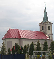 Kirche im Ort
Inhaltsverzeichnis
Geschichte
Das Dorf wurde 1330 zum ersten Mal schriftlich als Iwankafalva erwähnt, 1924 wurde der Ort Lúky-Gergeľová eingemeindet und 1976-1992 war die Gemeinde ein Teil der Stadt Nitra.
Lage
Die Gemeinde liegt auf einer Meereshöhe von 146 Metern und umfasst ein Gebiet von 14,909 km². Die Bevölkerung beträgt um die 2415 Einwohner.
Volkszugehörigkeit
Das Dorf ist zu fast 98 % von Slowaken bewohnt.
Einrichtungen
Das Dorf verfügt über eine öffentliche Bibliothek, eine Sporthalle und einen Fußballplatz.
Weblinks
Alekšince (Alaxinetz) | Báb | Babindol | Bádice | Branč | Cabaj-Čápor | Čab | Čakajovce | Čechynce | Čeľadice | Čifáre (Fäsch) | Dolné Lefantovce (Unterelefant) | Dolné Obdokovce | Golianovo | Horné Lefantovce (Oberelefant) | Hosťová | Hruboňovo | Ivanka pri Nitre (Iwanka) | Jarok | Jelenec | Jelšovce | Kapince (Kapintz) | Klasov | Kolíňany | Lehota | Lúčnica nad Žitavou | Lukáčovce | Lužianky | Ľudovítová | Malé Chyndice | Malé Zálužie | Malý Cetín (Kleinzitin) | Malý Lapáš | Melek | Mojmírovce | Nitra (Neutra) | Nitrianske Hrnčiarovce | Nová Ves nad Žitavou (Neudorf) | Nové Sady | Paňa | Podhorany | Pohranice (Pogranitz) | Poľný Kesov | Rišňovce (Ritschen) | Rumanová | Svätoplukovo | Štefanovičová | Štitáre | Šurianky | Tajná | Telince | Veľká Dolina | Veľké Chyndice | Veľké Zálužie | Veľký Cetín (Großzitin) | Veľký Lapáš | Vinodol (Sillesch) | Vráble | Výčapy-Opatovce | Zbehy | Žirany | Žitavce


Wikimedia Foundation.