- Penguin Island (Namibia)
-
Penguin Island
PinguininselPinguininsel (links im Hintergrund) vom Roberthafen aus gesehen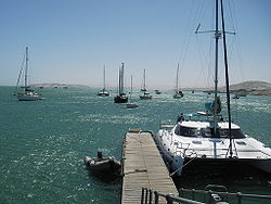
Gewässer Lüderitzbucht, Südatlantik Inselgruppe Penguin Islands Geographische Lage 26° 37′ 2″ S, 15° 9′ 17″ O-26.61712222222215.154611111111Koordinaten: 26° 37′ 2″ S, 15° 9′ 17″ O 

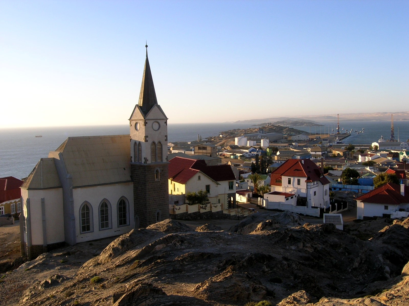
Länge 1,23 km Breite 580 m Einwohner (unbewohnt) Hauptort - 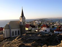 Die Felsenkirche in Lüderitz mit der Shark Island (früher Haifischinsel) und der Pinguininsel im Hintergrund
Die Pinguininsel (englisch Penguin Island) ist ein südatlantisches Felseiland in der Lüderitzbucht in Namibia. Die Pinguininsel ist Teil der Pinguininseln und bildet zusammen mit der Shark Island die sogenannte Haifischbucht, ein natürliches Hafenbecken vor der Stadt Lüderitz.
Wie der Name es nahelegt, leben auf der Insel einige Pinguine. Hauptsächlich bevölkern Südafrikanische Seebären und Möwen die Insel.
Die Inseln ist Teil des Meob-Chamais Meeresschutzgebietes und ist zusammen mit Seal Island die einzige für den Tourismus und andere wirtschaftliche Nutzungen freigegebene Insel im Schutzgebiet.
Inseln und Felsen innerhalb der Penguin IslandsAlbatross Rock | Black Rock | Black Sophie Rock | Boat Bay Rocks | Dumfudgeon Rocks | Flamingo Island | Gallovidea Reef | Halifax Island | Hollamsbird Island | Ichaboe Island | Little Roastbeef Islets | Marshall Rocks | Mercury Island | Neglectus Islet | North Long Island | Penguin Island | Plumpudding Island | Pomona Island | Possession Island | Seal Island | Shark Island | Sinclair Island | South Long Island | Staple Rocks
Wikimedia Foundation.
Schlagen Sie auch in anderen Wörterbüchern nach:
Penguin Island — (englisch für „Pinguininsel“) bezeichnet mehrere Inseln: eine der Pinguininseln vor Namibia, siehe Penguin Island (Namibia) eine Insel bei King George Island in der Antartktis, siehe Penguin Island (Antarktis) einen Archipel vor der Südküste und… … Deutsch Wikipedia
Penguin Island — is the name of a book and several islands:Book* Penguin Island (novel) , satirical novelIslands* Penguin Island (Western Australia), off Perth * Penguin Island (South Shetland Islands), Antarctica * Penguin Islands, Namibia * Penguin Island, New… … Wikipedia
Penguin Islands, Namibia — The Penguin Islands is a group of islands and rocks situated along the coastline of Namibia. The largest island is Hollam, which is also the most northern, and most far away from the coast. All islands together measure about 10km²Other islands of … Wikipedia
Shark Island (Namibia) — Shark Island Haifischinsel Shark Island (rechte Bildmitte) mit der Lüderitzbucht (links) und der Stadt Lüderitz im Hintergrund … Deutsch Wikipedia
Seal Island (Namibia) — Vorlage:Infobox Insel/Wartung/Bild fehlt Seal Island Seehundinsel Gewässer Lüderitzbucht, Südatlantik Inselgruppe Pinguininseln Geographische Lage … Deutsch Wikipedia
Possession Island (Namibia) — Vorlage:Infobox Insel/Wartung/Bild fehlt Possession Island Besitz Insel Gewässer Elizabeth Bay, Südatlantik Inselgruppe Penguin Islands Geographische Lage … Deutsch Wikipedia
Penguin Islands — Halifax Island vor der Lüderitzhalbinsel Gewässer Atlantik … Deutsch Wikipedia
Namibia — Republic of Namibia … Wikipedia
Mercury Island — from the air. Note the building on the center left of this photograph for scale … Wikipedia
Halifax Island — Gewässer Lüderitzbucht, Südatlantik Insel … Deutsch Wikipedia
Penguin Island (Namibia)


18+
© Academic, 2000-2026
- Kontaktieren Sie uns: Unterstützung, Werbung
Wörterbücher Export, schritte mit PHP, Joomla, Drupal, WordPress, MODx.