Mokolii

Mokolii
Mokoliʻi
Mokoliʻi von Oʻahu aus gesehen
Gewässer Pazifischer Ozean
Inselgruppe Hawaii
Geographische Lage 21° 30′ 30″ N, 157° 49′ 46″ W21.508333333333-157.8294444444470Koordinaten: 21° 30′ 30″ N, 157° 49′ 46″ W
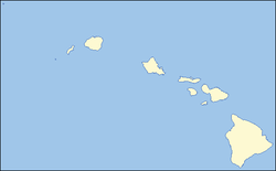
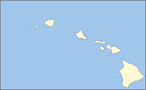
Mokoliʻi (Hawaii)
DEC
Mokoliʻi
Fläche 0,047 km²dep1
Höchste Erhebung 70 m
Einwohner (unbewohnt)

Mokoliʻi, im Volksmund auch Chinaman's Hat genannt, ist eine kleine, unbewohnte Insel im Archipel von Hawaiʻi und gehört zum Honolulu County. Sie liegt nur etwa 500 Meter vor der Ostküste der Insel Oʻahu, unweit des Kualoa Regional Parks.

Die Insel ist vulkanischen Ursprungs; sie weist eine Fläche von 4,7 ha (0,047 km²) auf und erreicht eine Höhe von etwa 70 m über dem Meeresspiegel.

Das Eiland war einst Brutgebiet des Weißschwanz-Tropikvogels (Phaethon lepturus), heute brütet dort nur eine Seevogelart, der Keilschwanzsturmtaucher (Puffinus pacificus, hawaiisch: Uau Kani). Mokoliʻi ist, wie viele weitere kleine Inseln Hawaiʻis auch, ein Hawaiʻi State Seabird Sanctuary (Vogelschutzgebiet). Die Insel darf tagsüber besucht werden und ist bei Ebbe zu Fuß zu erreichen.

Weblinks


Wikimedia Foundation.

Игры ⚽ Нужен реферат?

Schlagen Sie auch in anderen Wörterbüchern nach:

  • Mokolii — Mokoliokinai is a 12.5 acre, 206 foot tall basalt island one third of a mile offshore of Kualoa Point, Oahu, in Kāne ohe Bay, Hawaii, at coord|21.5092|N|157.8297|W|display=inline,title. Geologically, it used to be connected to Oahu before erosion …   Wikipedia

  • Mokoliʻi — or Chinaman s Hat Mokoliʻi is a 12.5 acre (5.1 ha), 206 foot tall (63 m) basalt island 1⁄3 miles (0.54 km) offshore of Kualoa Point, Oahu, in Kāne ohe Bay, Hawaii, at …   Wikipedia

  • O'ahu — Oʻahu Oʻahu aus dem Weltall Gewässer Pazifischer Ozean Inselgruppe Hawaii …   Deutsch Wikipedia

  • Oahu — Oʻahu Oʻahu aus dem Weltall Gewässer Pazifischer Ozean Inselgruppe Hawaii …   Deutsch Wikipedia

  • Mokoliʻi — von Oʻahu aus gesehen Gewässer …   Deutsch Wikipedia

  • Oahu — Oʻahu The Gathering Place Satellite photo of Oʻahu …   Wikipedia

  • Mayor of Honolulu — Mayor of The City and County of Honolulu Seal of The City and County of Honolulu …   Wikipedia

  • Mokolea Rock — Mōkōlea Rock in Kailua Bay, Oʻahu, Hawaiʻi, 2.2 km off North Beach, MCBH Mōkōlea Rock is an islet in Kailua Bay along the windward coast of Oʻahu in Hawaiʻi and located east of Marine Co …   Wikipedia

  • Coconut Island — For other uses, see Coconut Island (disambiguation). Coconut Isle in Kaneohe Bay Coconut Island, or Moku o Loʻe, is a 28 acre (113,000 m²) island in Kāne ohe Bay off the island of O ahu in the state of Hawai i, USA. It is a marine research… …   Wikipedia

  • Na Mokulua — Nā Mokulua as seen from Lanikai Beach at dawn Nā Mokulua (meaning, in Hawaiian, the two islands ) are two islets off the windward coast of O‘ahu in the Hawaiian Islands. They are also commonly known as The Moks or the Twin Islands . The islets… …   Wikipedia

Share the article and excerpts

Direct link
Do a right-click on the link above
and select “Copy Link”