- Kulbi-Inseln
-
Kulbi-Inseln Landsat-Bild der Gruppe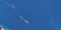
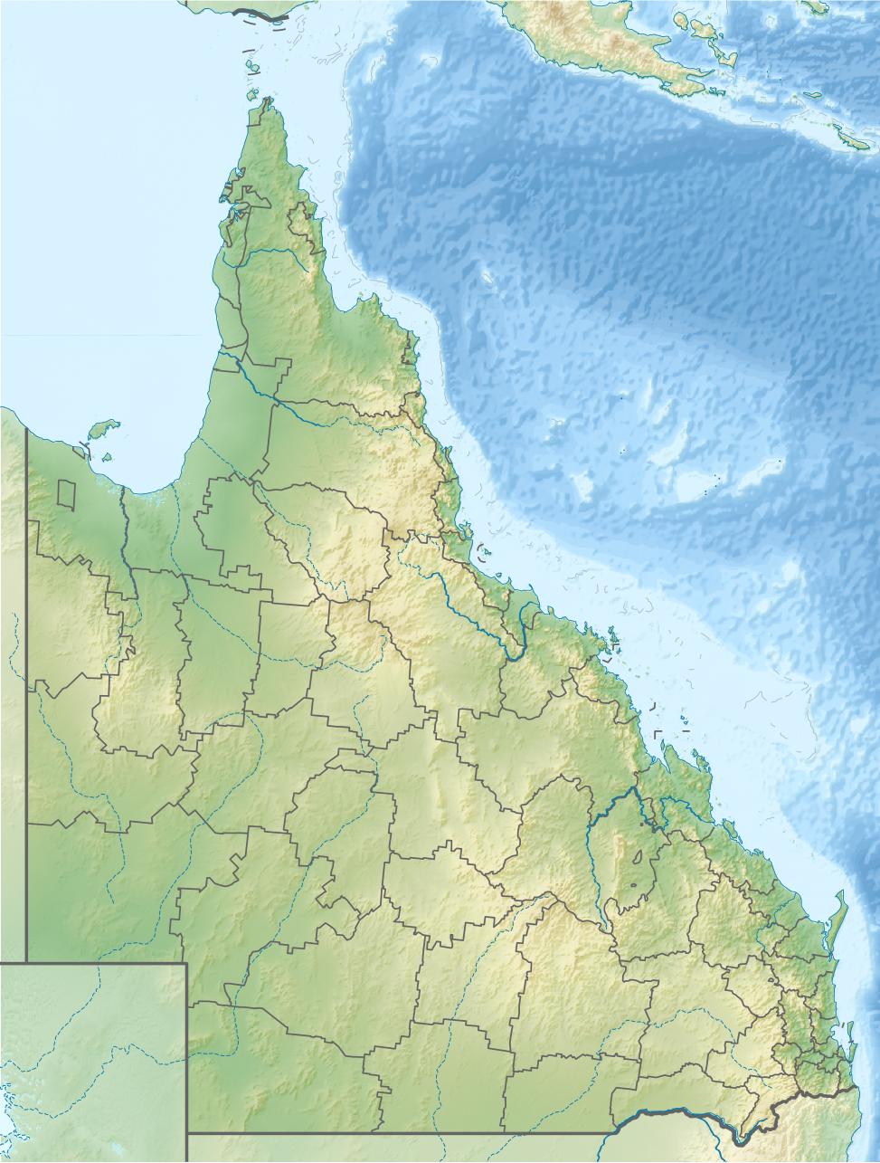
Gewässer Pazifischer Ozean Archipel Torres-Strait-Inseln Geographische Lage 10° 7′ S, 142° 21′ O-10.111388888889142.35138888889Koordinaten: 10° 7′ S, 142° 21′ O 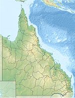

Anzahl der Inseln 3 Hauptinsel Portlock Island Gesamtfläche 26 ha Einwohner (unbewohnt) Die Kulbi-Inseln (auch Kulbi Islets genannt) liegen in der Torres-Straße zwischen Australien und Papua Neuguinea, nur wenige Kilometer nordöstlich von Moa Island.
Tabelle der Inseln
Zur unbewohnten Inselgruppe gehören:
Inselname Alternativ Lage Fläche
km²Geokoordinaten North Possession Island Iem Norden 0,13 10° 05′ S, 142° 20′ O-10.083055555556142.32666666667 Tobin Island Zagarsum Mitte 0,03 10° 06′ S, 142° 21′ O-10.105277777778142.34472222222 Portlock Island Kulbi Süden 0,10 10° 07′ S, 142° 21′ O-10.115277777778142.35638888889 Verwaltungsmäßig gehören die Kulbi-Inseln zu den Western Islands, einer Inselregion im Verwaltungsbezirk Torres Shire von Queensland.
Siehe auch
zu Papua-Neuguinea gehörige Torres-Strait-Inseln: Bristow Island | Daru Island | Parama Island • Kawai-Inseln | Talbot-Inseln
Top Western: Boigu | Dauan | Deliverance | Saibai | Turnagain • Talbot-Inseln
Western: Badu | Mabuiag | Moa | Portlock | Tobin • Bellevue-Inseln | Duncan-Inseln | Farewell-Inseln | Kulbi-Inseln
Central: Aureed | Bourke | Coconut | Sassie | Sue | Yam | Yorke • Bourke-Inseln | The Three Sisters | Yorke-Inseln
Eastern: Bramble | Darnley | Murray | Stephens • Murray-Inseln
Inner: Albany | Booby | Crab | Entrance | Friday | Goods | Hammond | Horn | Packe | Port Lihou | Prince-of-Wales | Thursday | Wednesday • Manar-Inseln | Red-Wallis-Inseln | Thursday-Inseln | Tuesday-Inseln

Wikimedia Foundation.