- Majcichov
-
Majcichov
Wappen Karte 
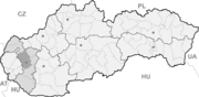

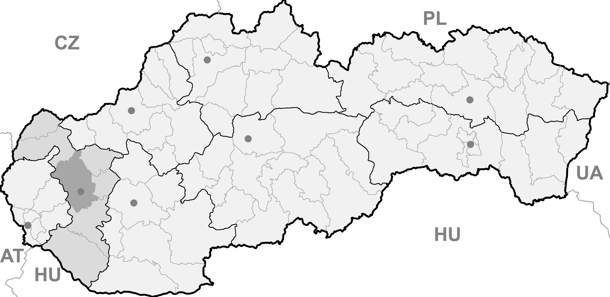
Majcichov BasisdatenKraj: Trnavský kraj Okres: Trnava Region: Dolné Považie Fläche: 18,197 km² Einwohner: 1.868 (31. Dez. 2010) Bevölkerungsdichte: 102,65 Einwohner je km² Höhe: 149 m n.m. Postleitzahl: 919 22 Telefonvorwahl: 0 33 Geographische Lage: 48° 17′ N, 17° 38′ O48.28777777777817.628888888889149Koordinaten: 48° 17′ 16″ N, 17° 37′ 44″ O Kfz-Kennzeichen: TT Gemeindekennziffer: 507296 StrukturGemeindeart: Gemeinde Verwaltung (Stand: Juni 2011)Bürgermeister: Tibor Marek Adresse: Obecný úrad Majcichov
č. 606
919 22 MajcichovWebpräsenz: www.majcichov.sk Gemeindeinformation
auf portal.gov.skStatistikinformation
auf statistics.skMajcichov (bis 1927 slowakisch auch „Matejchov“; ungarisch Majtény) ist eine Gemeinde im Westen der Slowakei, mit 1868 Einwohnern (Stand 31. Dezember 2010). Sie gehört zum Okres Trnava und übergeordnetem Bezirk Trnavský kraj.
Geographie
Die Gemeinde liegt im slowakischen Donautiefland beim Zusammenfluss von Trnávka und Dolný Dudváh. Das auf der Höhe von 149 m n.m. liegende Ortszentrum ist 11 Kilometer von Trnava entfernt.
Das Katastralgebiet von Majcichov grenzt an folgende Gemeinden: Zeleneč, Opoj, Vlčkovce, Sereď, Hoste, Abrahám, Pavlice und Voderady.
Geschichte
Majcichov wurde zum ersten Mal 1266 schriftlich erwähnt und gehörte zu verschiedenen Grundbesitzern. 1828 hatte der Ort 84 Häuser und 603 Einwohner.
Sehenswürdigkeiten
- Römisch-katholische Kirche, ursprünglich im romanischen Stil im 13. Jahrhundert errichtet. Die Geschichte des Kirchenturms geht allerdings ins 9. Jahrhundert zurück
- Barocke Kapelle aus dem 18. Jahrhundert
- Neoklassizistisches Landschloss aus dem Ende des 19. Jahrhunderts
- Das Gedenkhaus von Ján Palárik, der 1870 hier starb
Gemeinden im Okres TrnavaBiely Kostol (Weißkirchen) | Bíňovce (Binowetz) | Bohdanovce nad Trnavou (Bogdanowitz) | Boleráz (Frauendorf) | Borová (Joachimsthal) | Brestovany (Brestowan) | Bučany | Buková (Bixard) | Cífer (Ziffer) | Dechtice (Dechtitz) | Dlhá (Langendorf) | Dobrá Voda (Gutwasser) | Dolná Krupá (Unterkrupa) | Dolné Dubové (Unterdubowan) | Dolné Lovčice | Dolné Orešany (Unternußdorf) | Horná Krupá (Oberkrupa) | Horné Dubové (Oberdubowan) | Horné Orešany (Deutschnußdorf) | Hrnčiarovce nad Parnou (Dorfneustadt) | Jaslovské Bohunice | Kátlovce (Katlowitz) | Košolná (Kesselsdorf) | Križovany nad Dudváhom | Lošonec (Loschonz) | Majcichov | Malženice (Malschenitz) | Naháč | Opoj | Pavlice (Pald) | Radošovce (Radoschowetz) | Ružindol (Rosenthal) | Slovenská Nová Ves (Slowakisch-Neudorf) | Smolenice (Smolenitz) | Suchá nad Parnou (Dürnbach) | Šelpice (Schelpitz) | Špačince (Spatzing) | Šúrovce (Schur) | Trnava (Tyrnau) | Trstín (Nadasch) | Vlčkovce (Farkaschin) | Voderady | Zavar | Zeleneč (Silinz) | Zvončín
Wikimedia Foundation.
Schlagen Sie auch in anderen Wörterbüchern nach:
Majcichov — (Village) Administration Pays Slovaquie … Wikipédia en Français
Majcichov — is a village and municipality of Trnava District in the Trnava region of Slovakia. External links http://www.statistics.sk/mosmis/eng/run.html … Wikipedia
Ján Palárik — (1863) Ján Palárik (* 27. April 1822 in Raková, Königreich Ungarn, heute Slowakei; † 7. Dezember 1870 in Majcichov, Österreich Ungarn) war ein slowakischer Dramatiker und Publizist … Deutsch Wikipedia
Trnava — For other uses, see Trnava (disambiguation). Coordinates: 48°22′39″N 17°35′18″E / 48.3775°N 17.58833°E / 48.3775; 17.58833 … Wikipedia
Trnava Region — Geobox | Region name = Trnava category = Region image caption = image caption = symbol = symbol type = etymology = official name = motto = nickname = country = Slovakia country state = region = district = commune = municipality = border = part… … Wikipedia
Trnava District — District Country Slovakia Region ( … Wikipedia
Cífer — Coordinates: 48°19′00″N 17°30′00″E / 48.3166667°N 17.5°E / 48.3166667; 17.5 … Wikipedia
Dechtice — Ruins of the monastery of St. Catherine in Dechtice Dechtice is a municipality of Trnava District in the Trnava region of Slovakia. There is the Roman Catholic Church of St. Catherine of Alexandria from 1652 and the cemetery of All Saints Church… … Wikipedia
Dlhá — is a municipality of Trnava District in the Trnava region of Slovakia. External links http://www.statistics.sk/mosmis/eng/run.html … Wikipedia
Dobrá Voda — (literally good water ) (Hungarian: Jókő) is a municipality of Trnava District in the Trnava region of Slovakia … Wikipedia
Majcichov

18+
© Academic, 2000-2026
- Kontaktieren Sie uns: Unterstützung, Werbung
Wörterbücher Export, schritte mit PHP, Joomla, Drupal, WordPress, MODx.