- Ružindol
-
Ružindol
Wappen Karte 
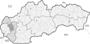

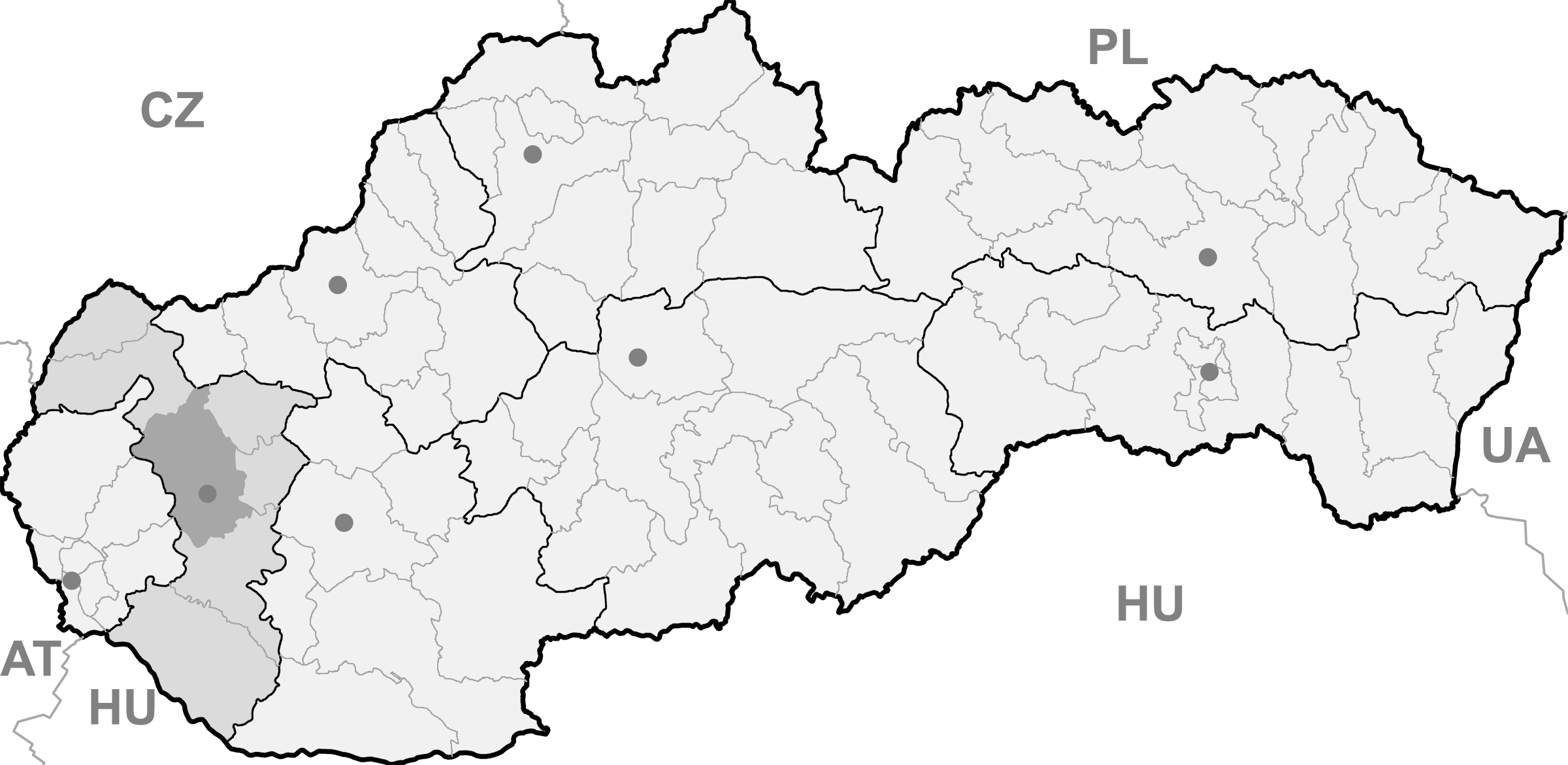
Ružindol BasisdatenKraj: Trnavský kraj Okres: Trnava Region: Dolné Považie Fläche: 14,706 km² Einwohner: 1.516 (31. Dez. 2010) Bevölkerungsdichte: 103,09 Einwohner je km² Höhe: 170 m n.m. Postleitzahl: 919 61 Telefonvorwahl: 0 33 Geographische Lage: 48° 22′ N, 17° 29′ O48.37277777777817.491388888889170Koordinaten: 48° 22′ 22″ N, 17° 29′ 29″ O Kfz-Kennzeichen: TT Gemeindekennziffer: 507512 StrukturGemeindeart: Gemeinde Verwaltung (Stand: April 2011)Bürgermeister: Vladimír Púčik Adresse: Obecný úrad Ružindol
130
919 61 RužindolWebpräsenz: www.ruzindol.sk Gemeindeinformation
auf portal.gov.skStatistikinformation
auf statistics.skRužindol (slowakisch 1927–48 „Rožindol“ - bis 1927 „Rošindol“; deutsch Rosenthal, ungarisch Rózsavölgy - bis 1882 Rosindol, lateinisch Vallis Rosarum) ist ein Ort und eine Gemeinde im Okres Trnava des Trnavský kraj in der westlichen Slowakei. Die Zahl der Einwohner belief sich per 31. Dezember 2009 auf 1.468 Personen.
Geographie
Die Gemeinde liegt in der Trnavská pahorkatina („Tyrnauer Hügelland“) und damit im Donauhügelland südöstlich der Kleinen Karpaten, acht Kilometer westlich der Stadt Trnava und fünfzehn Kilometer östlich von Modra.
Geschichte
Der Ort wurde zum ersten Mal 1215 schriftlich erwähnt.
Biely Kostol (Weißkirchen) | Bíňovce (Binowetz) | Bohdanovce nad Trnavou (Bogdanowitz) | Boleráz (Frauendorf) | Borová (Joachimsthal) | Brestovany (Brestowan) | Bučany | Buková (Bixard) | Cífer (Ziffer) | Dechtice (Dechtitz) | Dlhá (Langendorf) | Dobrá Voda (Gutwasser) | Dolná Krupá (Unterkrupa) | Dolné Dubové (Unterdubowan) | Dolné Lovčice | Dolné Orešany (Unternußdorf) | Horná Krupá (Oberkrupa) | Horné Dubové (Oberdubowan) | Horné Orešany (Deutschnußdorf) | Hrnčiarovce nad Parnou (Dorfneustadt) | Jaslovské Bohunice | Kátlovce (Katlowitz) | Košolná (Kesselsdorf) | Križovany nad Dudváhom | Lošonec (Loschonz) | Majcichov | Malženice (Malschenitz) | Naháč | Opoj | Pavlice (Pald) | Radošovce (Radoschowetz) | Ružindol (Rosenthal) | Slovenská Nová Ves (Slowakisch-Neudorf) | Smolenice (Smolenitz) | Suchá nad Parnou (Dürnbach) | Šelpice (Schelpitz) | Špačince (Spatzing) | Šúrovce (Schur) | Trnava (Tyrnau) | Trstín (Nadasch) | Vlčkovce (Farkaschin) | Voderady | Zavar | Zeleneč (Silinz) | Zvončín

Wikimedia Foundation.