- Špačince
-
Špačince
Wappen Karte 
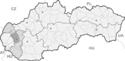

Špačince BasisdatenKraj: Trnavský kraj Okres: Trnava Region: Dolné Považie Fläche: 22,103 km² Einwohner: 2.232 (31. Dez. 2010) Bevölkerungsdichte: 100,98 Einwohner je km² Höhe: 160 m n.m. Postleitzahl: 919 51 Telefonvorwahl: 0 33 Geographische Lage: 48° 26′ N, 17° 37′ O48.44055555555617.610833333333160Koordinaten: 48° 26′ 26″ N, 17° 36′ 39″ O Kfz-Kennzeichen: TT Gemeindekennziffer: 507601 StrukturGemeindeart: Gemeinde Verwaltung (Stand: Mai 2011)Bürgermeister: Július Zemko Adresse: Obecný úrad Špačince
Hlavná 183/6
919 51 ŠpačinceWebpräsenz: www.spacince.sk Gemeindeinformation
auf portal.gov.skStatistikinformation
auf statistics.skŠpačince (deutsch Spatzing oder Spatznitz, ungarisch Ispáca - bis 1907 Spáca) ist eine Gemeinde im Westen der Slowakei, mit 2232 Einwohnern (Stand 31. Dezember 2010). Sie gehört zum Okres Trnava und übergeordnetem Bezirk Trnavský kraj.
Geographie
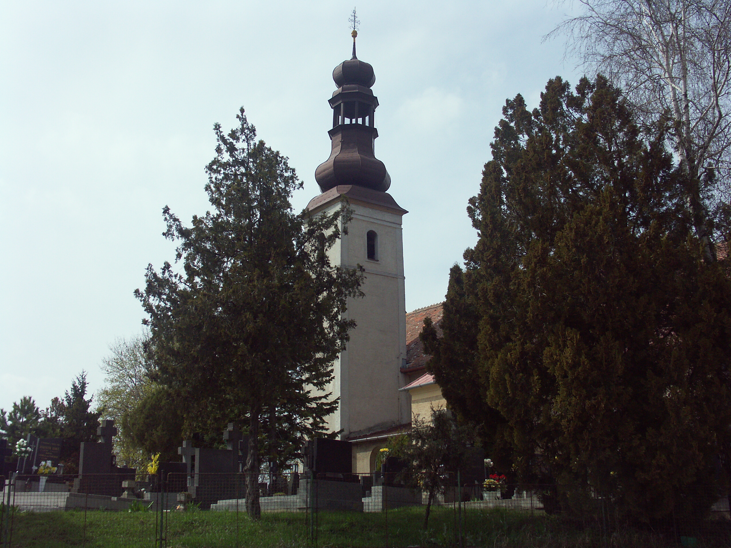
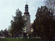 Kirche in Špačince
Die Gemeinde liegt in der Trnavská pahorkatina („Tyrnauer Hügelland“), einem Teil des slowakischen Donautieflands, am Bach Krupský potok. Špačince ist neun Kilometer von Trnava entfernt.
Geschichte
Der Ort wurde zum ersten Mal 1111 in den Zoborer Urkunden als Spacha schriftlich erwähnt (andere Quellen geben das Jahr 1275 an). 1292 bekam der damalige Gespan Geth den Ort vom König Andreas III. und seine Familie Spáczay war bis zur Mitte des 18. Jahrhundert der Besitzer, als dann die Familie Brunswick den Ort erwarb. Mitte des 16. Jahrhunderts kam es zu einem Zuzug der Kroaten, die die von Türken eroberte Stadt Kostajnica und Umgebung verließen; diese Spuren lassen sich bis heute erkennen. 1699 wurde Spatzing das Markt- und Stadtrecht zugesprochen, wurde aber im 19. Jahrhundert wieder zu einfachem Dorf herabgestuft.
Weblinks
 Commons: Špačince – Sammlung von Bildern, Videos und AudiodateienGemeinden im Okres Trnava
Biely Kostol (Weißkirchen) | Bíňovce (Binowetz) | Bohdanovce nad Trnavou (Bogdanowitz) | Boleráz (Frauendorf) | Borová (Joachimsthal) | Brestovany (Brestowan) | Bučany | Buková (Bixard) | Cífer (Ziffer) | Dechtice (Dechtitz) | Dlhá (Langendorf) | Dobrá Voda (Gutwasser) | Dolná Krupá (Unterkrupa) | Dolné Dubové (Unterdubowan) | Dolné Lovčice | Dolné Orešany (Unternußdorf) | Horná Krupá (Oberkrupa) | Horné Dubové (Oberdubowan) | Horné Orešany (Deutschnußdorf) | Hrnčiarovce nad Parnou (Dorfneustadt) | Jaslovské Bohunice | Kátlovce (Katlowitz) | Košolná (Kesselsdorf) | Križovany nad Dudváhom | Lošonec (Loschonz) | Majcichov | Malženice (Malschenitz) | Naháč | Opoj | Pavlice (Pald) | Radošovce (Radoschowetz) | Ružindol (Rosenthal) | Slovenská Nová Ves (Slowakisch-Neudorf) | Smolenice (Smolenitz) | Suchá nad Parnou (Dürnbach) | Šelpice (Schelpitz) | Špačince (Spatzing) | Šúrovce (Schur) | Trnava (Tyrnau) | Trstín (Nadasch) | Vlčkovce (Farkaschin) | Voderady | Zavar | Zeleneč (Silinz) | Zvončín
Wikimedia Foundation.
Schlagen Sie auch in anderen Wörterbüchern nach:
Špačince — (Village) Administration Pays … Wikipédia en Français
Špačince — Geobox | Settlement name = Špačince other name = category = Village image caption = symbol = etymology = official name = motto = nickname = country = Slovakia country state = region = Trnava district = Trnava commune = municipality = part = river … Wikipedia
Trnava — For other uses, see Trnava (disambiguation). Coordinates: 48°22′39″N 17°35′18″E / 48.3775°N 17.58833°E / 48.3775; 17.58833 … Wikipedia
Trnava Region — Geobox | Region name = Trnava category = Region image caption = image caption = symbol = symbol type = etymology = official name = motto = nickname = country = Slovakia country state = region = district = commune = municipality = border = part… … Wikipedia
Trnava District — District Country Slovakia Region ( … Wikipedia
Cífer — Coordinates: 48°19′00″N 17°30′00″E / 48.3166667°N 17.5°E / 48.3166667; 17.5 … Wikipedia
Dechtice — Ruins of the monastery of St. Catherine in Dechtice Dechtice is a municipality of Trnava District in the Trnava region of Slovakia. There is the Roman Catholic Church of St. Catherine of Alexandria from 1652 and the cemetery of All Saints Church… … Wikipedia
Dlhá — is a municipality of Trnava District in the Trnava region of Slovakia. External links http://www.statistics.sk/mosmis/eng/run.html … Wikipedia
Dobrá Voda — (literally good water ) (Hungarian: Jókő) is a municipality of Trnava District in the Trnava region of Slovakia … Wikipedia
Dolná Krupá — Coordinates: 48°29′N 17°33′E / 48.483°N 17.55°E / 48.483; 17.55 … Wikipedia
Špačince

18+
© Academic, 2000-2026
- Kontaktieren Sie uns: Unterstützung, Werbung
Wörterbücher Export, schritte mit PHP, Joomla, Drupal, WordPress, MODx.