- Malženice
-
Malženice
Wappen Karte 
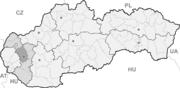

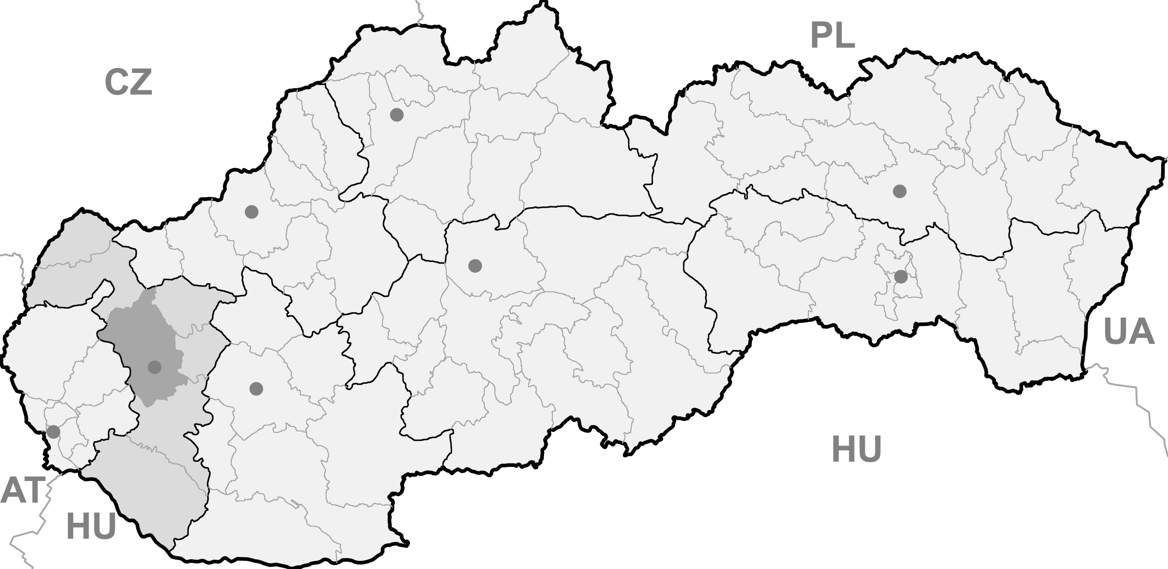
Malženice BasisdatenKraj: Trnavský kraj Okres: Trnava Region: Dolné Považie Fläche: 14,850 km² Einwohner: 1.391 (31. Dez. 2010) Bevölkerungsdichte: 93,67 Einwohner je km² Höhe: 160 m n.m. Postleitzahl: 919 29 Telefonvorwahl: 0 33 Geographische Lage: 48° 27′ N, 17° 41′ O48.4517.675160Koordinaten: 48° 27′ 0″ N, 17° 40′ 30″ O Kfz-Kennzeichen: TT Gemeindekennziffer: 507318 StrukturGemeindeart: Gemeinde Verwaltung (Stand: Juni 2011)Bürgermeister: Miroslav Macko Adresse: Obecný úrad Malženice
č. 294
919 29 MalženiceWebpräsenz: www.malzenice.sk Gemeindeinformation
auf portal.gov.skStatistikinformation
auf statistics.skMalženice (deutsch Malschenitz, ungarisch Maniga) ist eine Gemeinde im Westen der Slowakei, mit 1391 Einwohnern (Stand 31. Dezember 2010). Sie gehört zum Okres Trnava, einem Unterteil des Trnavský kraj.
Inhaltsverzeichnis
Geographie
Malženice liegt im Donauhügelland, einem Teil des slowakischen Donautieflands am Bach Blava, 10 Kilometer von Trnava und 12 Kilometer von Hlohovec entfernt.
Geschichte
Der Ort wurde zum ersten Mal 1113 in den Zoborer Urkunden schriftlich erwähnt. Am Anfang des 13. Jahrhunderts gehörte er zum Johanniterorden, dann zu verschiedenen Grundbesitzern. 1756 wurde der Ort für einige Zeit zum Städtchen.
Sehenswürdigkeiten
- römisch-katholische Kirche, ursprünglich im 13. Jahrhundert im romanischen Stil gebaut, im 17. Jahrhundert im Renaissance-Stil in eine dreischiffige Kirche umgebaut
Wirtschaft
Gemeinden im Okres TrnavaBiely Kostol (Weißkirchen) | Bíňovce (Binowetz) | Bohdanovce nad Trnavou (Bogdanowitz) | Boleráz (Frauendorf) | Borová (Joachimsthal) | Brestovany (Brestowan) | Bučany | Buková (Bixard) | Cífer (Ziffer) | Dechtice (Dechtitz) | Dlhá (Langendorf) | Dobrá Voda (Gutwasser) | Dolná Krupá (Unterkrupa) | Dolné Dubové (Unterdubowan) | Dolné Lovčice | Dolné Orešany (Unternußdorf) | Horná Krupá (Oberkrupa) | Horné Dubové (Oberdubowan) | Horné Orešany (Deutschnußdorf) | Hrnčiarovce nad Parnou (Dorfneustadt) | Jaslovské Bohunice | Kátlovce (Katlowitz) | Košolná (Kesselsdorf) | Križovany nad Dudváhom | Lošonec (Loschonz) | Majcichov | Malženice (Malschenitz) | Naháč | Opoj | Pavlice (Pald) | Radošovce (Radoschowetz) | Ružindol (Rosenthal) | Slovenská Nová Ves (Slowakisch-Neudorf) | Smolenice (Smolenitz) | Suchá nad Parnou (Dürnbach) | Šelpice (Schelpitz) | Špačince (Spatzing) | Šúrovce (Schur) | Trnava (Tyrnau) | Trstín (Nadasch) | Vlčkovce (Farkaschin) | Voderady | Zavar | Zeleneč (Silinz) | Zvončín
Wikimedia Foundation.
Schlagen Sie auch in anderen Wörterbüchern nach:
Malženice — (Village) Administration Pays Slovaquie … Wikipédia en Français
Malženice — is a village and municipality of Trnava District in the Trnava region of Slovakia. External links http://www.statistics.sk/mosmis/eng/run.html … Wikipedia
Kraftwerk Malženice — f2 Kraftwerk Malženice Stand: Feb 2010 Lage … Deutsch Wikipedia
Trnava — For other uses, see Trnava (disambiguation). Coordinates: 48°22′39″N 17°35′18″E / 48.3775°N 17.58833°E / 48.3775; 17.58833 … Wikipedia
Trnava Region — Geobox | Region name = Trnava category = Region image caption = image caption = symbol = symbol type = etymology = official name = motto = nickname = country = Slovakia country state = region = district = commune = municipality = border = part… … Wikipedia
Trnava District — District Country Slovakia Region ( … Wikipedia
Cífer — Coordinates: 48°19′00″N 17°30′00″E / 48.3166667°N 17.5°E / 48.3166667; 17.5 … Wikipedia
Dechtice — Ruins of the monastery of St. Catherine in Dechtice Dechtice is a municipality of Trnava District in the Trnava region of Slovakia. There is the Roman Catholic Church of St. Catherine of Alexandria from 1652 and the cemetery of All Saints Church… … Wikipedia
Dlhá — is a municipality of Trnava District in the Trnava region of Slovakia. External links http://www.statistics.sk/mosmis/eng/run.html … Wikipedia
Dobrá Voda — (literally good water ) (Hungarian: Jókő) is a municipality of Trnava District in the Trnava region of Slovakia … Wikipedia
Malženice

18+
© Academic, 2000-2026
- Kontaktieren Sie uns: Unterstützung, Werbung
Wörterbücher Export, schritte mit PHP, Joomla, Drupal, WordPress, MODx.