- Madison County (North Carolina)
-
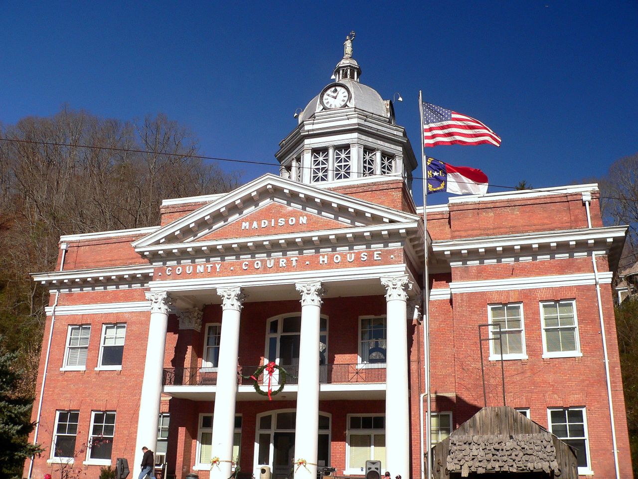
Verwaltung US-Bundesstaat: North Carolina Verwaltungssitz: Marshall Adresse des
Verwaltungssitzes:County Courthouse
P.O. Box 579
Marshall, NC 28753-0579Gründung: 1851 Gebildet aus: Buncombe County
Yancey CountyVorwahl: 001 828 Demographie Einwohner: 19.635 (2000) Bevölkerungsdichte: 16,9 Einwohner/km² Geographie Fläche gesamt: 1.170 km² Wasserfläche: 6 km² Karte 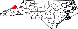
Website: www.main.nc.us/madison Madison County[2] ist ein County im Bundesstaat North Carolina der Vereinigten Staaten von Amerika. Der Verwaltungssitz (County Seat) ist Marshall, das nach John Marshall benannt wurde, einem Vorsitzenden Richter am Supreme Court of the United States (Oberster Gerichtshof).
Inhaltsverzeichnis
Geografie
Das County liegt im Westen von North Carolina, grenzt im Norden an Tennessee und hat eine Fläche von 1170 Quadratkilometern, wovon 6 Quadratkilometer Wasserfläche sind. Es grenzt im Uhrzeigersinn an folgende Countys: Yancey County, Buncombe County und Haywood County.
Madison County ist in elf nummerierten Townships aufgeteilt: 1 (North Marshall and South Marshall), 2 (Laurel), 3 (Mars Hill), 4 (Beech Glenn), 5 (Walnut), 6 (Hot Springs), 7 (Ebbs Chapel), 8 (Spring Creek), 9 (Sandy Mush), 10 (Grapevine) und 11 (Revere Rice Cove).
Geschichte
Madison County wurde 1851 aus Teilen des Buncombe County und des Yancey County gebildet. Benannt wurde es nach dem Präsidenten James Madison.
Demografische Daten
Historische Einwohnerzahlen Census Einwohner ± in % 1860 5908 — 1870 8192 40 % 1880 12.810 60 % 1890 17.805 40 % 1900 20.644 20 % 1910 20.132 -2 % 1920 20.083 -0,2 % 1930 20.306 1 % 1940 22.522 10 % 1950 20.522 -9 % 1960 17.217 -20 % 1970 16.003 -7 % 1980 16.827 5 % 1990 16.953 0,7 % 2000 19.635 20 % Vor 1900[3] Nach der Volkszählung im Jahr 2000 lebten im Madison County 19.635 Menschen. Davon wohnten 895 Personen in Sammelunterkünften, die anderen Einwohner lebten in 8.000 Haushalten und 5.592 Familien. Die Bevölkerungsdichte beträgt 17 Einwohner pro Quadratkilometer. Ethnisch betrachtet setzt sich die Bevölkerung zusammen aus 97,63 Prozent Weißen, 0,83 Prozent Afroamerikanern, 0,27 Prozent amerikanischen Ureinwohnern, 0,23 Prozent Asiaten, 0,01 Prozent Bewohnern aus dem pazifischen Inselraum und 0,45 Prozent aus anderen ethnischen Gruppen; etwa 0,59 Prozent stammen von zwei oder mehr Ethnien ab. 1,35 Prozent der Bevölkerung waren spanischer oder lateinamerikanischer Abstammung.
Von den 8.000 Haushalten hatten 28,4 Prozent Kinder unter 18 Jahren, die bei ihnen lebten. 57,5 Prozent davon waren verheiratete, zusammenlebende Paare, 8,9 Prozent waren allein erziehende Mütter und 30,1 Prozent waren keine Familien. 26,3 Prozent waren Singlehaushalte und in 11,8 Prozent lebten Menschen mit 65 Jahren oder älter. Die Durchschnittshaushaltsgröße betrug 2,34 und die durchschnittliche Familiengröße war 2,81 Personen.
21,2 Prozent der Bevölkerung waren unter 18 Jahre alt. 10,3 Prozent zwischen 18 und 24 Jahre, 26,5 Prozent zwischen 25 und 44 Jahre, 26,0 Prozent zwischen 45 und 64, und 15,9 Prozent waren 65 Jahre alt oder älter. Das Durchschnittsalter betrug 39 Jahre. Auf alle weibliche Personen kamen 97,3 männliche Personen. Auf alle Frauen im Alter von 18 Jahren oder darüber kamen 93,3 Männer.
Das jährliche Durchschnittseinkommen eines Haushalts betrug 30.985 US-$ und das jährliche Durchschnittseinkommen einer Familie betrug 37.383 $. Männer hatten ein durchschnittliches Einkommen von 27.950 $ gegenüber den Frauen mit 22.678 $. Das Prokopfeinkommen betrug 16.076 $. 15,4 Prozent der Bevölkerung und 10,9 Prozent der Familien lebten unterhalb der Armutsgrenze. Darunter waren 17,6 Prozent der Kinder und Jugendlichen unter 18 Jahren und 19,2 Prozent der Senioren ab 65 Jahren. [6]
Siehe auch
Einzelnachweise
- ↑ Auszug aus dem National Register of Historic Places. Abgerufen am 13. März 2011
- ↑ GNIS-ID: 1025834. Abgerufen am 22. Februar 2011 (englisch).
- ↑ U.S. Census Bureau - Census of Population and Housing. Abgerufen am 15. März 2011
- ↑ Auszug aus Census.gov. Abgerufen am 20. Februar 2011
- ↑ Auszug aus factfinder.census.gov Abgerufen am 20. Februar 2011
- ↑ Madison County, North Carolina, Datenblatt mit den Ergebnissen der Volkszählung im Jahre 2000 bei factfinder.census.gov.

Liste der Countys in North Carolina
Alamance | Alexander | Alleghany | Anson | Ashe | Avery | Beaufort | Bertie | Bladen | Brunswick | Buncombe | Burke | Cabarrus | Caldwell | Camden | Carteret | Caswell | Catawba | Chatham | Cherokee | Chowan | Clay | Cleveland | Columbus | Craven | Cumberland | Currituck | Dare | Davidson | Davie | Duplin | Durham | Edgecombe | Forsyth | Franklin | Gaston | Gates | Graham | Granville | Greene | Guilford | Halifax | Harnett | Haywood | Henderson | Hertford | Hoke | Hyde | Iredell | Jackson | Johnston | Jones | Lee | Lenoir | Lincoln | Macon | Madison | Martin | McDowell | Mecklenburg | Mitchell | Montgomery | Moore | Nash | New Hanover | Northampton | Onslow | Orange | Pamlico | Pasquotank | Pender | Perquimans | Person | Pitt | Polk | Randolph | Richmond | Robeson | Rockingham | Rowan | Rutherford | Sampson | Scotland | Stanly | Stokes | Surry | Swain | Transylvania | Tyrrell | Union | Vance | Wake | Warren | Washington | Watauga | Wayne | Wilkes | Wilson | Yadkin | Yancey

Wikimedia Foundation.