- Kewaunee County
-
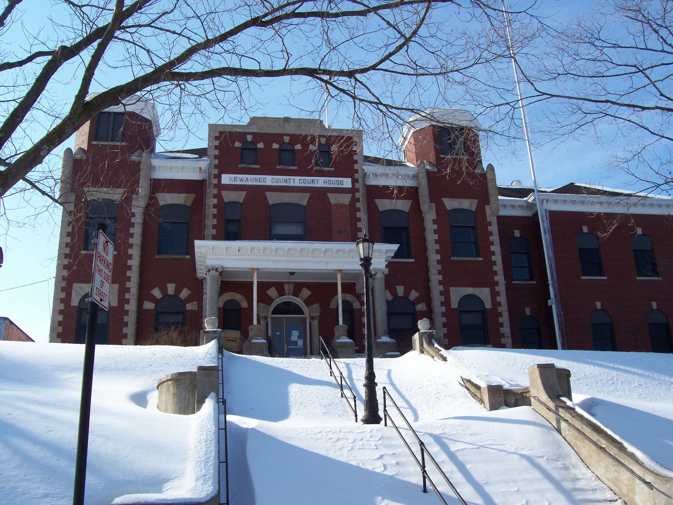
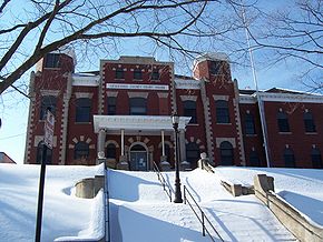 Das Kewaunee County Courthouse in Kewaunee
Verwaltung US-Bundesstaat: Wisconsin Verwaltungssitz: Kewaunee Adresse des
Verwaltungssitzes:County Courthouse
613 Dodge Street
Kewaunee, WI 54216-1322Gründung: 1852 Gebildet aus: Manitowoc County Vorwahl: 001 920 Demographie Einwohner: 20.574 (2000) Bevölkerungsdichte: 23,2 Einwohner/km² Geographie Fläche gesamt: 2.809 km² Wasserfläche: 1.921 km² Karte 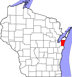
Website: www.kewauneeco.org Kewaunee County[1] ist ein County im Bundesstaat Wisconsin der Vereinigten Staaten von Amerika. Bei der Volkszählung im Jahr 2010 hatte das County 20.574 Einwohner und eine Bevölkerungsdichte von 23,2 Einwohnern pro Quadratkilometer. Der Verwaltungssitz (County Seat) ist Kewaunee.
Inhaltsverzeichnis
Geografie
Das County liegt im äußersten Osten von Wisconsin, grenzt an den Michigansee und hat eine Fläche von 2809 Quadratkilometern, wovon 1921 Quadratkilometer Wasserfläche sind. Es grenzt an folgende Countys:
Door County Brown County 
Manitowoc County Geschichte
Das Kewaunee County wurde 1852 aus Teilen des Manitowoc County gebildet.
Demografische Daten
Historische Einwohnerzahlen Census Einwohner ± in % 1900 17.212 — 1910 16.784 -2 % 1920 16.091 -4 % 1930 16.037 -0,3 % 1940 16.680 4 % 1950 17.366 4 % 1960 18.282 5 % 1970 18.961 4 % 1980 19.539 3 % 1990 18.878 -3 % 2000 20.187 7 % 2010 20.574 2 % 1900–1990[2] 2010[3] 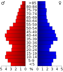 Alterspyramide (2000) des Kewaunee County
Nach der Volkszählung im Jahr 2000 lebten im Kewaunee County 20.187 Menschen in 7.623 Haushalten. 5.549 Familien lebten im County. Die Bevölkerungsdichte betrug 23 Personen pro Quadratkilometer. Ethnisch betrachtet setzte sich die Bevölkerung zusammen aus 98,56 Prozent Weißen, 0,15 Prozent Afroamerikanern, 0,27 Prozent amerikanischen Ureinwohnern, 0,13 Prozent Asiaten, 0,30 Prozent aus anderen ethnischen Gruppen; 0,57 Prozent stammten von zwei oder mehr Ethnien ab. 0,76 Prozent der Bevölkerung waren spanischer oder lateinamerikanischer Abstammung, die verschiedenen der genannten Gruppen angehörten.
Von den 7.623 Haushalten hatten 33,5 Prozent Kinder unter 18 Jahren, die mit ihnen zusammen lebten. 62,4 Prozent davon waren verheiratete, zusammenlebende Paare, 6,6 Prozent waren allein erziehende Mütter. 27,2 Prozent waren keine Familien. 23,5 Prozent waren Singlehaushalte und in 11,8 Prozent lebten Menschen mit 65 Jahren oder älter. Die durchschnittliche Haushaltsgröße lag bei 2,61 und die durchschnittliche Familiengröße bei 3,10 Personen.
25,8 Prozent der Bevölkerung waren unter 18 Jahre alt, 8,0 Prozent zwischen 18 und 24, 28,2 Prozent zwischen 25 und 44, 22,8 Prozent zwischen 45 und 64, und 15,2 Prozent waren 65 Jahre oder älter. Das Durchschnittsalter betrug 38 Jahre. Auf 100 weibliche kamen statistisch 100,6 männliche Personen.[5]
Städte und Gemeinden
- Algoma
- Casco
- Kewaunee
- Luxemburg
Einzelnachweise
- ↑ Kewaunee County im Geographic Names Information System des United States Geological Survey Abgerufen am 22. Februar 2011
- ↑ Auszug aus Census.gov Abgerufen am 28. Februar 2011
- ↑ United States Census 2010 Abgerufen am 8. April 2011
- ↑ Auszug aus dem National Register of Historic Places - Nr. 96000728 Abgerufen am 8. April 2011
- ↑ Kewaunee County, Wisconsin Datenblatt mit den Ergebnissen der Volkszählung im Jahre 2000 bei factfinder.census.gov
Weblinks
-
 Commons: Kewaunee County, Wisconsin – Sammlung von Bildern, Videos und Audiodateien
 - Offizielle Webseite
- www.city-data.com

Liste der Countys in Wisconsin
Adams | Ashland | Barron | Bayfield | Brown | Buffalo | Burnett | Calumet | Chippewa | Clark | Columbia | Crawford | Dane | Dodge | Door | Douglas | Dunn | Eau Claire | Florence | Fond du Lac | Forest | Grant | Green | Green Lake | Iowa | Iron | Jackson | Jefferson | Juneau | Kenosha | Kewaunee | La Crosse | Lafayette | Langlade | Lincoln | Manitowoc | Marathon | Marinette | Marquette | Menominee | Milwaukee | Monroe | Oconto | Oneida | Outagamie | Ozaukee | Pepin | Pierce | Polk | Portage | Price | Racine | Richland | Rock | Rusk | Sauk | Sawyer | Shawano | Sheboygan | St. Croix | Taylor | Trempealeau | Vernon | Vilas | Walworth | Washburn | Washington | Waukesha | Waupaca | Waushara | Winnebago | Wood
Wikimedia Foundation.
Schlagen Sie auch in anderen Wörterbüchern nach:
Kewaunee County — Admin ASC 2 Code Orig. name Kewaunee County Country and Admin Code US.WI.061 US … World countries Adminstrative division ASC I-II
Kewaunee County, Wisconsin — Infobox U.S. County county = Kewaunee County state = Wisconsin founded year = founded date = seat wl = Kewaunee largest city wl = Algoma area total sq mi = 1085 area total km2 = 2809 area land sq mi = 343 area land km2 = 887 area water sq mi =… … Wikipedia
National Register of Historic Places listings in Kewaunee County, Wisconsin — Buildings, sites, districts, and objects in Kewaunee County listed on the National Register of Historic Places See also: National Register of Historic Places listings in Wisconsin This National Park Service list is complete through NPS recent… … Wikipedia
Curran, Kewaunee County, Wisconsin — Curran, Wisconsin Unincorporated community … Wikipedia
Franklin, Kewaunee County, Wisconsin — Infobox Settlement official name = Franklin, Wisconsin settlement type = Town nickname = motto = imagesize = image caption = image mapsize = 250px map caption = Location of Franklin, Wisconsin mapsize1 = map caption1 = subdivision type = Country… … Wikipedia
Lincoln, Kewaunee County, Wisconsin — Infobox Settlement official name = Lincoln, Wisconsin settlement type = Town nickname = motto = imagesize = image caption = image mapsize = 250px map caption = Location of Lincoln, Wisconsin mapsize1 = map caption1 = subdivision type = Country… … Wikipedia
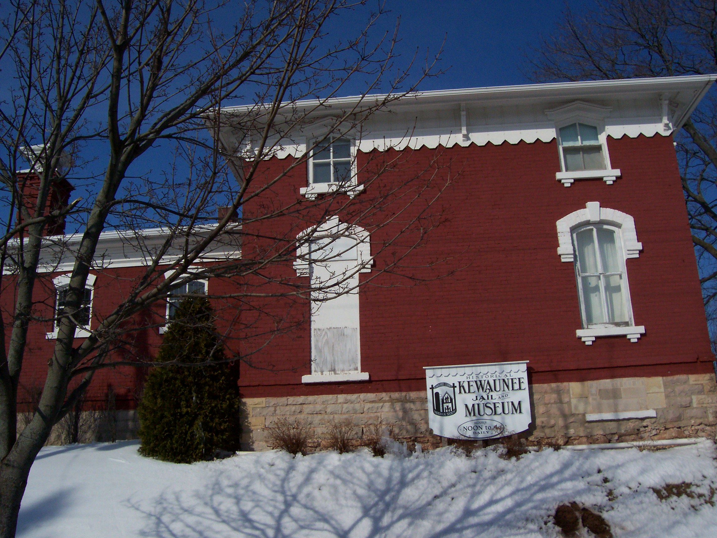
Kewaunee — Das „Kewaunee County Sheriff s Residence and Jail“ (Sheriffsbüro und Gefängnis) ist im National Register of Historic Places gelis … Deutsch Wikipedia
Kewaunee, Wisconsin — Infobox Settlement official name = Kewaunee, Wisconsin settlement type = City nickname = motto = imagesize = image caption = image mapsize = 250px map caption = Location of Kewaunee, Wisconsin mapsize1 = map caption1 = subdivision type = Country… … Wikipedia
Kewaunee Pierhead Light — Infobox Lighthouse caption = location = Kewaunee, Wisconsin coordinates = coord|44|27|26|N|87|29|35|W|region:US type:landmark yearlit = 1931 automated = yeardeactivated = foundation = Pier construction = Steel shape = Square height = 43 feet (13… … Wikipedia
Kewaunee nuclear power planr — Centrale nucléaire de Kewaunee Centrale nucléaire de Kewaunee La centrale nucléaire de Kewaunee occupe un site de 900 acres à Carlton dans le Wisconsin, 40 km au sud est de Green Bay. Description Kewaunee est la 4 … Wikipédia en Français
Kewaunee County


18+
© Academic, 2000-2024
- Kontaktieren Sie uns: Unterstützung, Werbung
Wörterbücher Export, schritte mit PHP, Joomla, Drupal, WordPress, MODx.