- Hughes County (South Dakota)
-
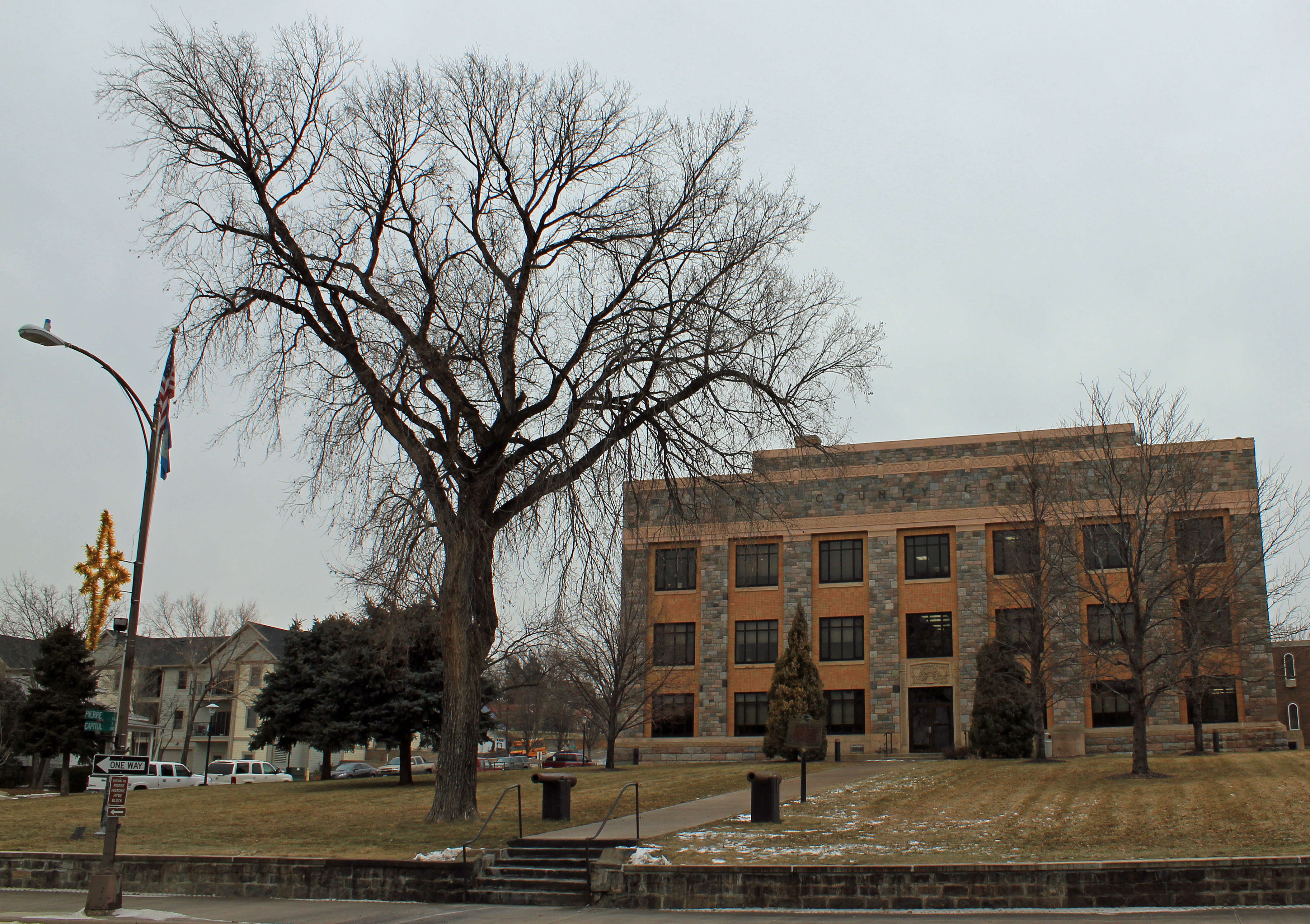
 Hughes County Courthouse in Pierre
Verwaltung US-Bundesstaat: South Dakota Verwaltungssitz: Pierre (South Dakota) Gründung: 1880 Demographie Einwohner: 16.481 (2000) Bevölkerungsdichte: 8,6 Einwohner/km² Geographie Fläche gesamt: 2.073 km² Wasserfläche: 154 km² Karte 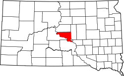
Hughes County[1] ist ein County im Bundesstaat South Dakota der Vereinigten Staaten von Amerika. Der Verwaltungssitz (County Seat) ist Pierre, der Hauptstadt von South Dakota.
Inhaltsverzeichnis
Geographie
Der Bezirk hat eine Fläche von 2073 Quadratkilometern; davon sind 154 Quadratkilometer (7,42 Prozent) Wasserflächen. Er wird in zwei Townships eingeteilt: Raber und Valley; sowie drei unorganisierte Territorien: West Hughes, North Hughes und Crow Creek.
Bevölkerungsentwicklung
Historische Einwohnerzahlen Census Einwohner ± in % 1900 3684 — 1910 6271 70 % 1920 5711 -9 % 1930 7009 20 % 1940 6624 -5 % 1950 8111 20 % 1960 12.725 60 % 1970 11.632 -9 % 1980 14.220 20 % 1990 14.817 4 % 2000 16.481 10 % 2010 17.022 3 % 1900–1990[2] 2000[3]
Städte und Gemeinden
Städte (cities)
- Blunt
- Pierre
Gemeinden (towns)
- Harrold
Gemeindefreie Dörfer
- Canning
Einzelnachweise
- ↑ Hughes County im Geographic Names Information System des United States Geological Survey. Abgerufen am 22. Februar 2011
- ↑ Auszug aus Census.gov. Abgerufen am 28. Februar 2011
- ↑ Auszug aus factfinder.census.gov Abgerufen am 28. Februar 2011

Liste der Countys in South Dakota
Aurora | Beadle | Bennett | Bon Homme | Brookings | Brown | Brule | Buffalo | Butte | Campbell | Charles Mix | Clark | Clay | Codington | Corson | Custer | Davison | Day | Deuel | Dewey | Douglas | Edmunds | Fall River | Faulk | Grant | Gregory | Haakon | Hamlin | Hand | Hanson | Harding | Hughes | Hutchinson | Hyde | Jackson | Jerauld | Jones | Kingsbury | Lake | Lawrence | Lincoln | Lyman | Marshall | McCook | McPherson | Meade | Mellette | Miner | Minnehaha | Moody | Pennington | Perkins | Potter | Roberts | Sanborn | Shannon | Spink | Stanley | Sully | Todd | Tripp | Turner | Union | Walworth | Yankton | Ziebach
Wikimedia Foundation.
Schlagen Sie auch in anderen Wörterbüchern nach:
Hughes County, South Dakota — Infobox U.S. County county = Hughes County state = South Dakota founded year = founded date = seat wl = Pierre largest city wl = area total sq mi = 800 area total km2 = 2073 area land sq mi = 741 area land km2 = 1919 area water sq mi = 59 area… … Wikipedia
National Register of Historic Places listings in Hughes County, South Dakota — Location of Hughes County in South Dakota This is a list of the National Register of Historic Places listings in Hughes County, South Dakota. This is intended to be a complete list of the properties and districts on the National Register of… … Wikipedia
Minnehaha County (South Dakota) — Verwaltung US Bundesstaat: South Dakota Verwaltungssitz: Sioux Falls Adresse des Verwaltungssitzes: Gründung … Deutsch Wikipedia
Ziebach County (South Dakota) — Verwaltung US Bundesstaat: South Dakota Verwaltungssitz: Dupree Adresse des Verwaltungssitzes: Gründung … Deutsch Wikipedia
Lyman County, South Dakota — Infobox U.S. County county = Lyman County state = South Dakota founded year = founded date = seat wl = Kennebec largest city wl = area total sq mi = 1707 area total km2 = 4421 area land sq mi =1640 area land km2 = 4247 area water sq mi = 67 area… … Wikipedia
Hyde County, South Dakota — Infobox U.S. County county = Hyde County state = South Dakota founded year = founded date = seat wl = Highmore largest city wl = area total sq mi = 867 area total km2 = 2244 area land sq mi =861 area land km2 = 2230 area water sq mi = 6 area… … Wikipedia
Sully County, South Dakota — Infobox U.S. County county = Sully County state = South Dakota founded year = founded date = seat wl = Onida largest city wl = area total sq mi = 1070 area total km2 = 2772 area land sq mi =1007 area land km2 = 2608 area water sq mi = 63 area… … Wikipedia
Stanley County, South Dakota — Infobox U.S. County county = Stanley County state = South Dakota founded year = founded date = seat wl = Fort Pierre largest city wl = area total sq mi = 1517 area total km2 = 3929 area land sq mi = 1443 area land km2 = 3738 area water sq mi = 74 … Wikipedia
Clay County, South Dakota — Location in the state of South Dakota … Wikipedia
Minnehaha County, South Dakota — Minnehaha County Courthouse in Sioux Falls, South Dakota … Wikipedia
Hughes County (South Dakota)

18+
© Academic, 2000-2026
- Kontaktieren Sie uns: Unterstützung, Werbung
Wörterbücher Export, schritte mit PHP, Joomla, Drupal, WordPress, MODx.